Day 10, 17th September, 2012 – The Remoteness of Hanle
Leh > Karu > Upshi > Chumathang > Mahe > Loma > Nyoma > Hanle (275 KM)
Around 8.30 in the morning we left Leh towards Hanle (the locals pronounce it as ‘Aanle’). We already submitted the required papers to the Leh IIA office for our accommodation at the IIA guest house at Hanle.
We were again on the Leh Manali high way through which we already travelled partially when we traversed towards Hemis and when we returned from Pangong. We crossed Karu and reached Upshi in no time. From Upshi one diversion towards the right leads the way towards Manali, crossing the Tanglang La. The road towards the left goes to Chumathang further from which Hanle is situated.
The journey again was uneventful and the landscapes were familiar to even us, so without wasting much time over photography, we drove all the way to Chumathang. It was a little village with only a single guest house – so staying here was not always a good idea if the guest house ran full. It did when we reached Chumathang. Anyway, at a small roadside dhaba we had our lunch with some tasteless food and Rigzin loaded some more Diesel.
Chumathang was popular for a hot water spring. We expected a lot from this hot water spring and in reality, it was just a small spring after all, but the water was too hot. The dhaba owner stated smilingly that they normally get the eggs boiled from the water within minutes.
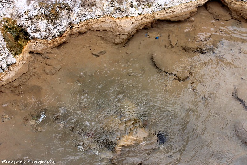 |
| Chumathang Hot Spring |
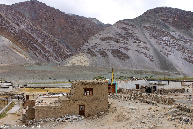 |
| Chumathang Village |
From Chumathang, we reached Mahe where we had to submit our permits. A small wooden bridge towards our right indicated the road towards Tso Moriri. Rigzin mentioned that while driving to Tso Moriri we have to backtrack towards Mahe and then take the towards Tso Moriri crossing the bridge.
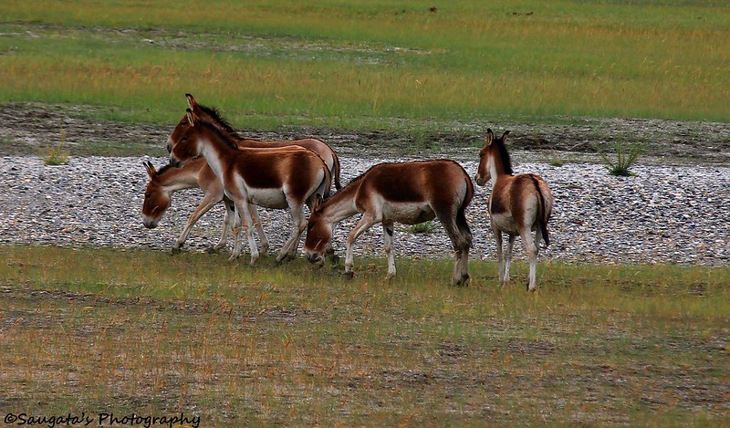
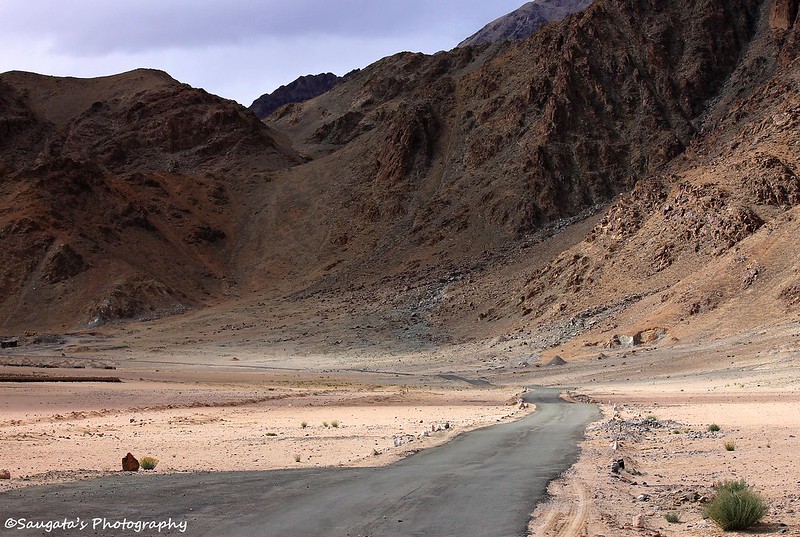
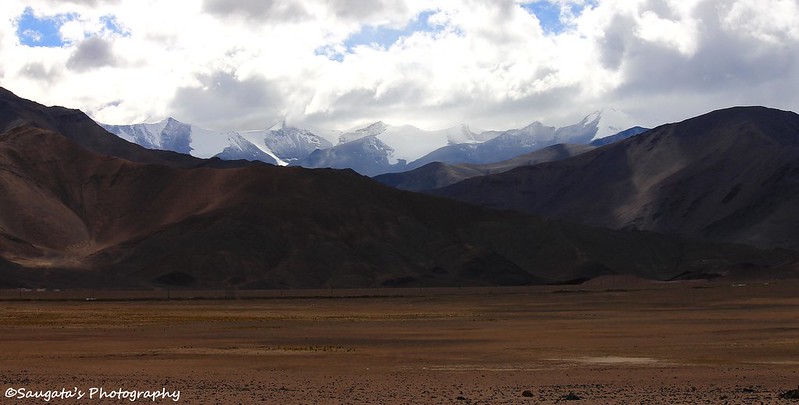
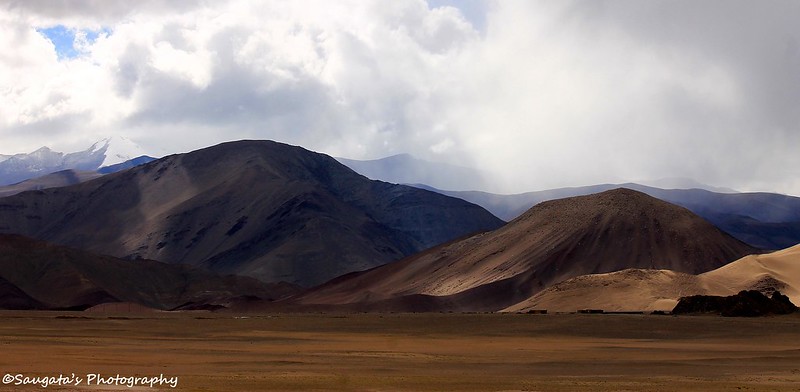
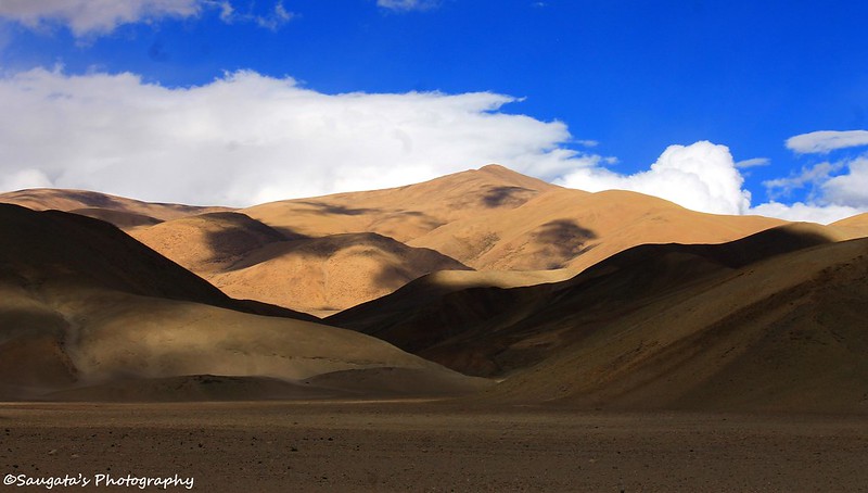
After Mahe, the landscapes changed completely, only similarity was the aridness. The mountains became too colorful gradually, vast patches of sandy valleys appeared and remoteness was too strong. As far as the eyes could behold, no symbol of human civilization could be found. That’s why perhaps this region was the abode of many wild creatures – one of them was the Kiang (Wild Ass), we saw many of them grazing in hordes. The Kiangs were too colorful as well.
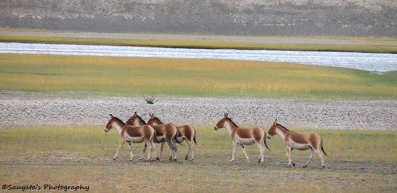 |
| The Kiangs |
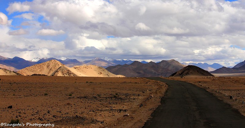
The remoteness of the route was so appealing that we wanted to stop our car at almost every nook and corner, we did so at many occasions but Rigzins mentioned to save some energy as we had to visit the Hanle Observatory as well and since we have to return through the same roads. We agreed. We crossed Loma, Nyoma and had to submit our permits once again.
 |
| The Way Ahead |
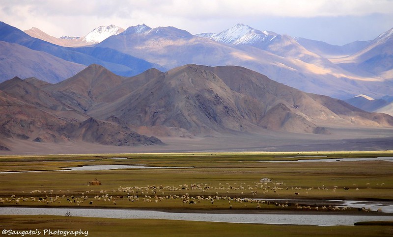
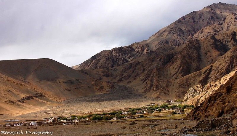
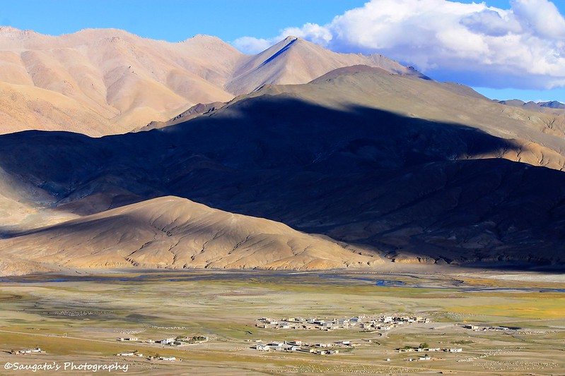
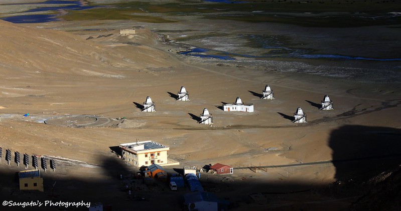
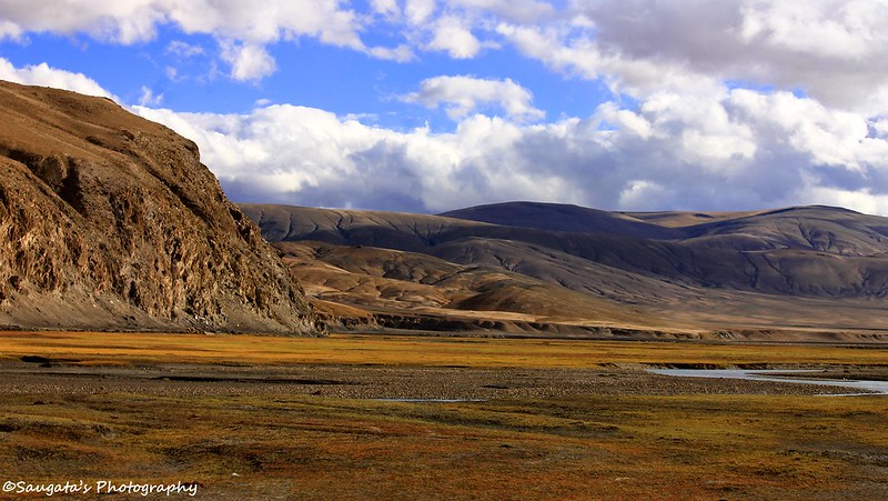
We saw the diversion towards Koyul, Dungti, Fotula and Fukche but unfortunately tourirts are not allowed in these regions anymore, so we had to drive straight towards Hanle. Hanle Monastery appeared at our right side and the village on the left. One thing which struck us was the greenery all around. The whole village was more or less covered by a carpet of grass which was very strange given the desertscapes all around us. We asked our Encyclopedia – Rigzin. He mentioned that beneath the whole village there’s a big lake flowing which supplies the water to the village!
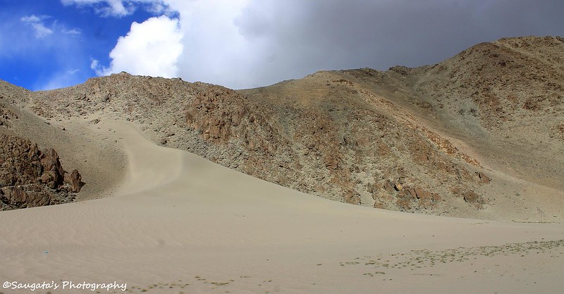 |
| Desertscape |
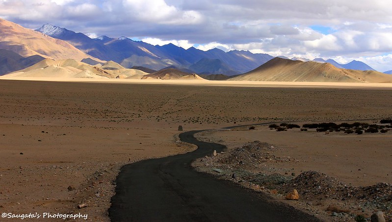 |
| Where is it leading to? |
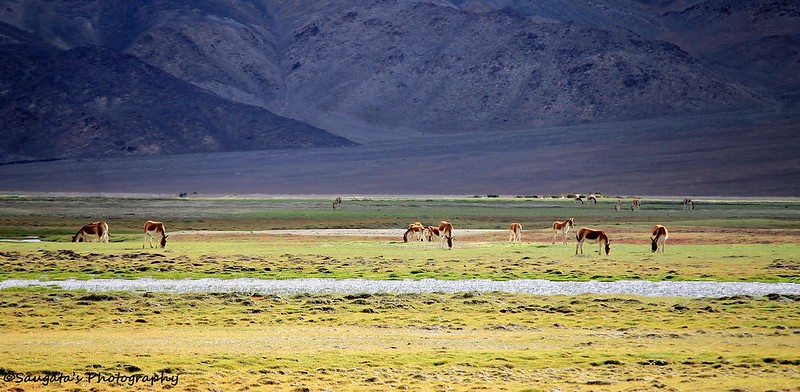 |
| Kiangs grazing |
 |
| Hanle Monastery |
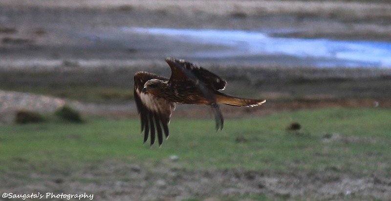 |
| Some Himalayan Buzzard - flying with speed of a jet |
 |
| Hanle Wetland |
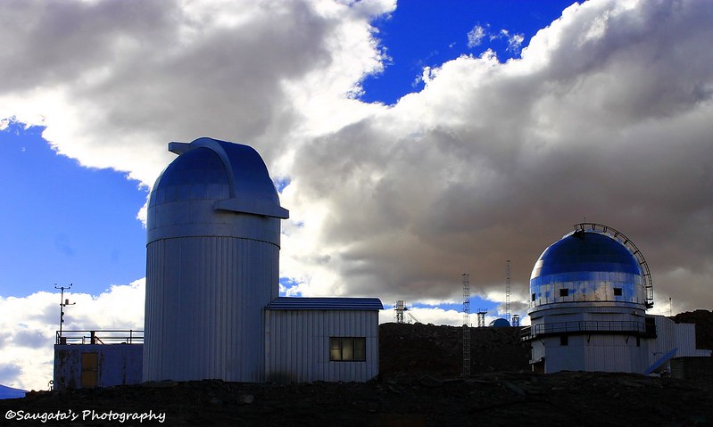
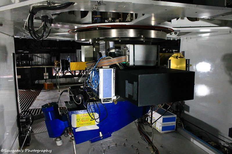
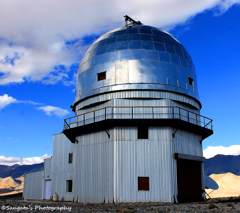
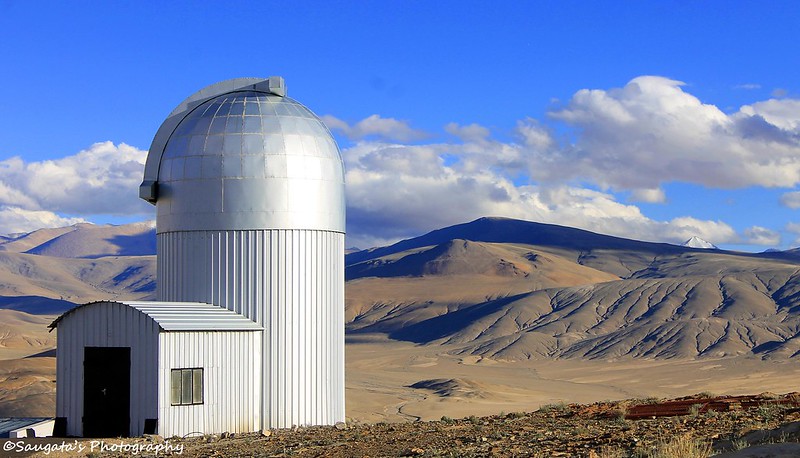
We drove past the village and started ascending a hillock, on top of which the Observatory was located. When we reached the parking at the top, the village houses seemed tiny little boxes from there. The monastery even looked a house of the Lilliput. A 360 degree view of the gorgeous surrounding was a welcome, despite our tiring journey.
 |
| Hanle Monastery from the top |
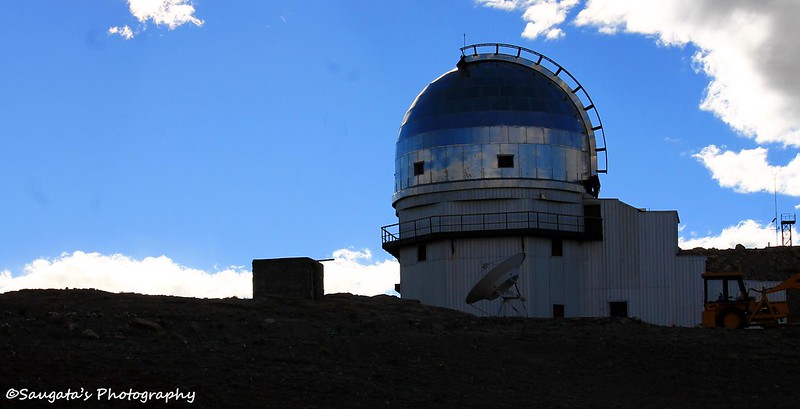 |
| The observatory dome |