Day 4, 11th September, 2012
Leh > Hemis > Stakna > Thiksey > Shey > Leh (130 KM)
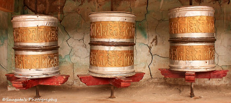
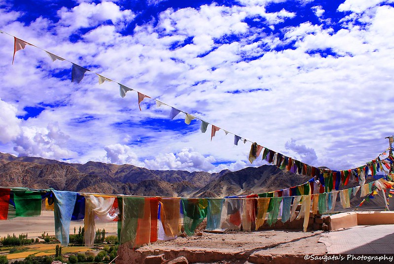
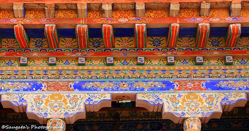
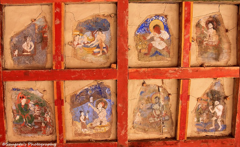
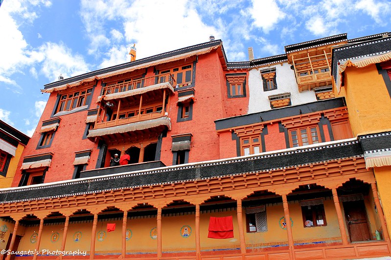
Hemis Monastery
The next morning, the sky was clear with the shades of blue and white all around indicating a fantastic day ahead and our moods lighter. After the breakfast, Rigzin arrived with his black Scorpio at 9 O’clock sharp as promised, and we commenced our journey to Hemis.
Once we passed Karu, we had one more fellow traveller with us – the Indus – which runs towards Chumathang as a trusted companion, if one is traversing in the same direction.
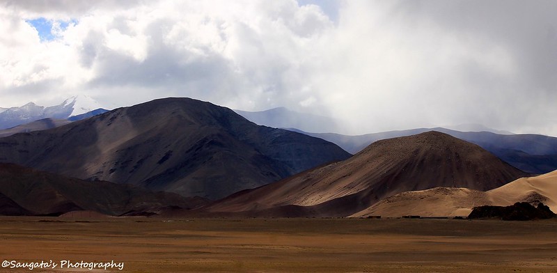
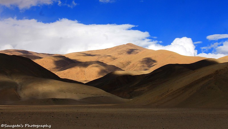
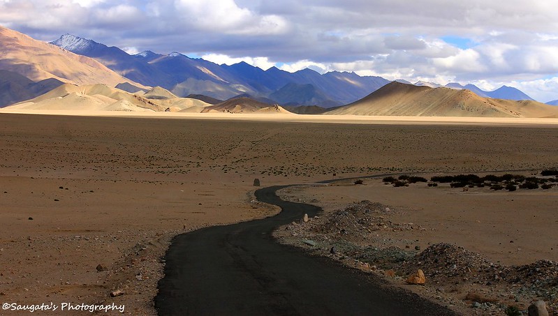
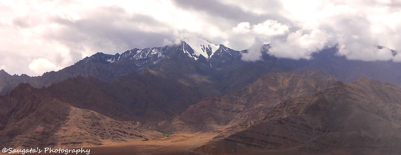
After Karu, we needed to take a diversion towards Hemis and through some spellbinding landscapes; Hemis – the largest monastic institution in Ladakh - was in front of us, surrounded by mountains.
After spending some moments with the already familiar paintings, carvings, architecture, we returned back towards Leh again through the same sky-kissing-the-mountains landscapes.
 |
| Decoration |
 |
| Hemis Monastery from a different angle |
 |
| Paintings |
 |
| Landscape |
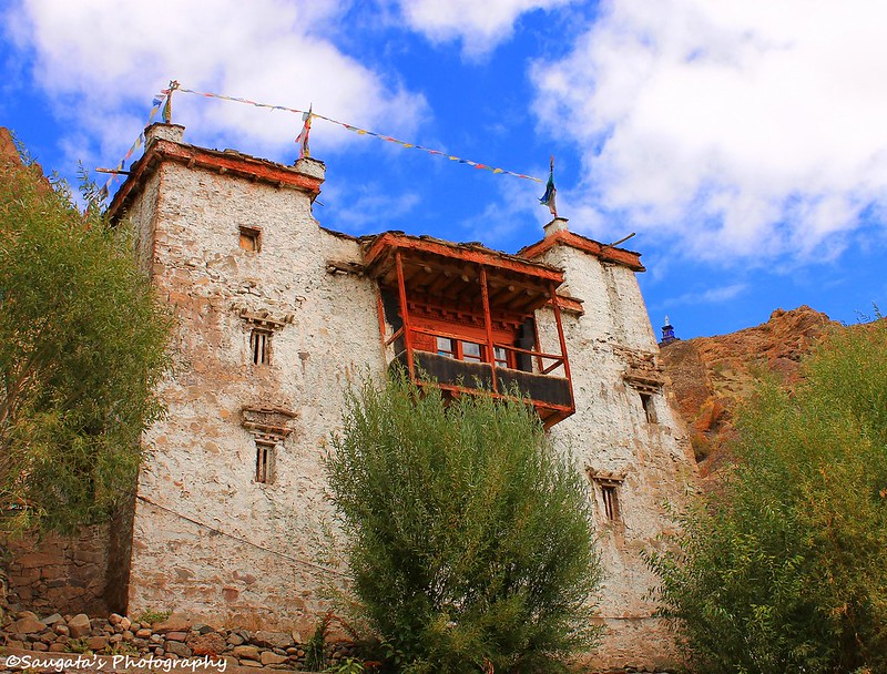
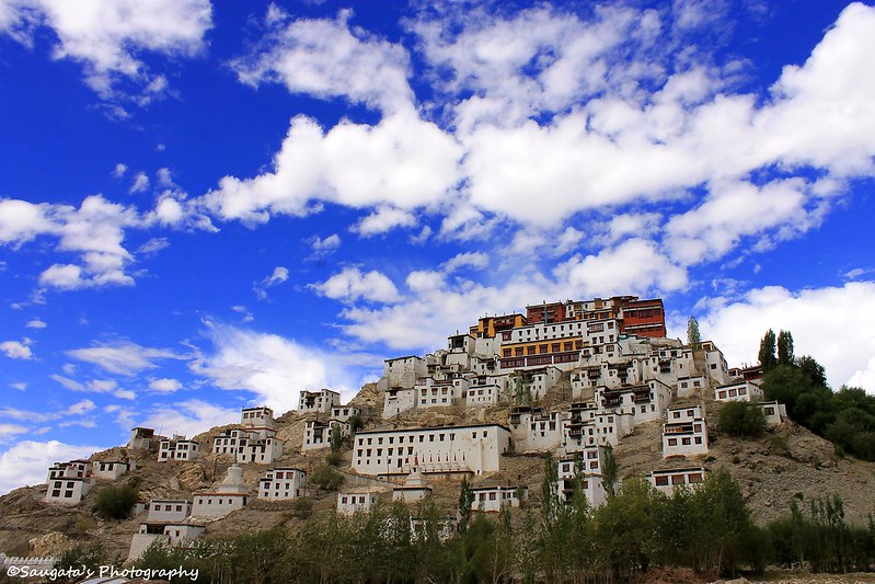
Stakna Monastery
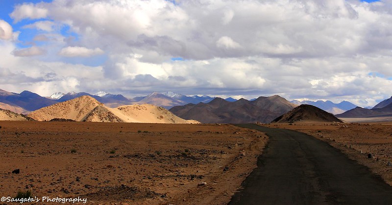
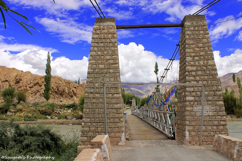
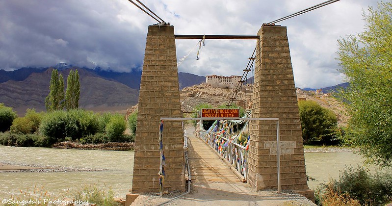
From Hemis towards Leh, we took another diversion to reach Stakna Monastery. The road towards Stakna was heavenly, especially the part where we were on a very narrow bridge to cross the Indus.
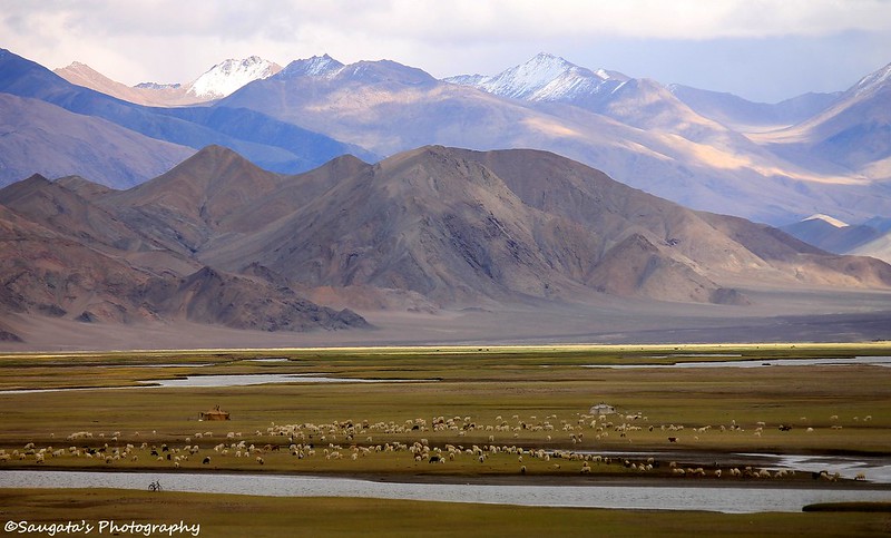
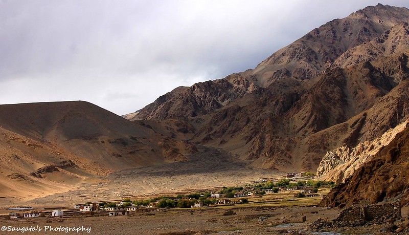
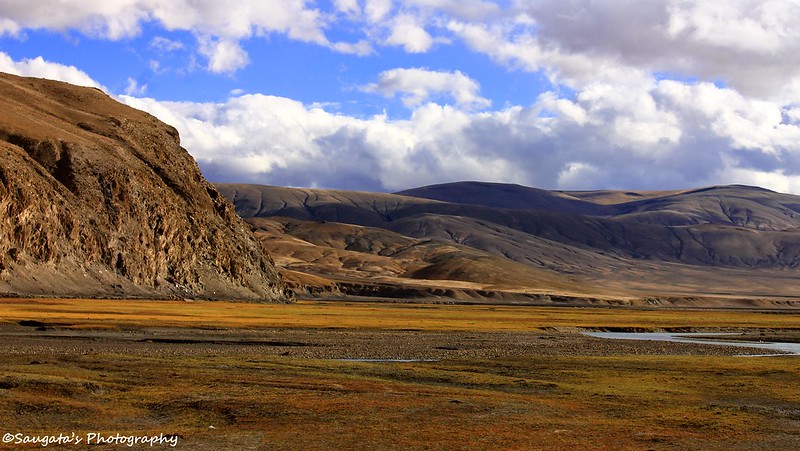
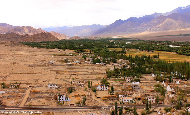
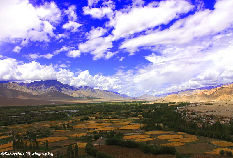
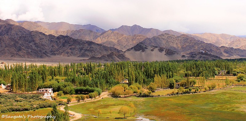
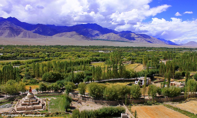
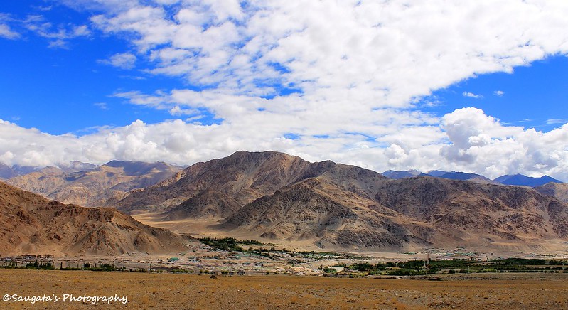
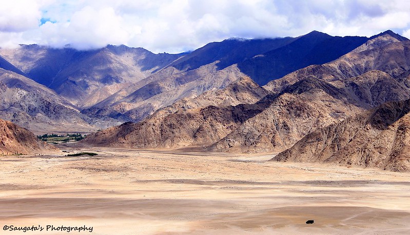
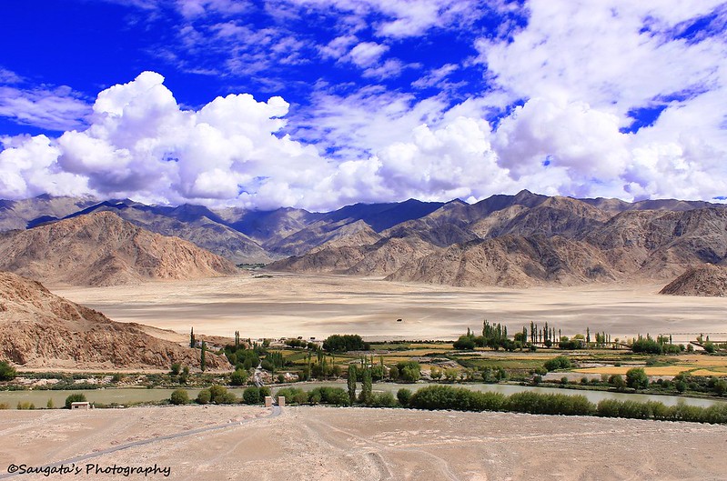
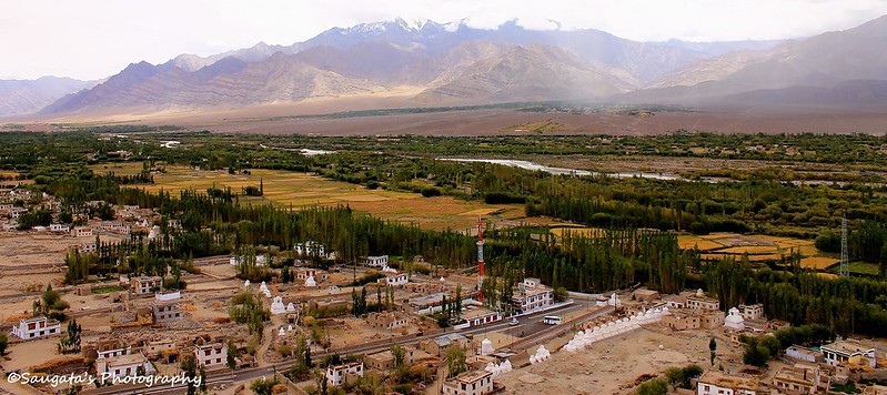
Stakna was a very small monastery on the top of a small hillock and as it is not even as half famous as Hemis, Thiksey etc, most of the tourists give it a miss.But when we reached at the top, we immediately knew that we didn’t make a mistake coming here. The 360 degree view offered was absolutely breathtaking, without any exaggeration. The Indus valley, the village below and the Thiksey monastery far away all contributed to the heavenly beauty.
I am actually at a loss to describe how it was, so I leave it on to the readers to judge from the below pictures.
 |
| On the way to Stakna - visible at the left |
 |
| Stakna Monastery |
 |
| Shot with 250 mm Lens - can you imagine the vastness? |
 |
| From the same angle, but with 18 mm Lens this time |
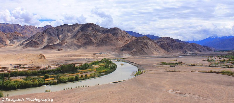 |
| Indus Valley - from Stakna top |
 |
| The valley below |
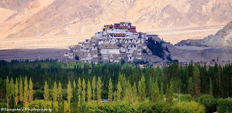 |
| Thiksey Monastery from Stakna |
 |
| Indus Valley - Thiksey at right |
 |
| Stakna at the backdrop |
Thiksey Monastery
We spent more time at Stakna than Hemis which was quite incredible, given that many travellers don’t even consider Stakna to be on their itinerary. In fact, while we found Hemis and Thiksey all thronged, Stakna did not have anyone else apart from us and another fortunate group of travellers.
The next destination was Thiksey – another popular destination. We already passed by Thiksey while on our way to Hemis, so we already knew what to expect from the same.
Thiksey was beautiful undoubtedly and offered spectacular bird’s eye view of the village below, apart from the normal sacred items and utensils.
 |
| Stok Range far far away |
 |
| The Stok Range |
 |
| Thiksey Monastery - a closer look |
 |
| Chhortens |
 |
| Thiksey from a photogenic angle |
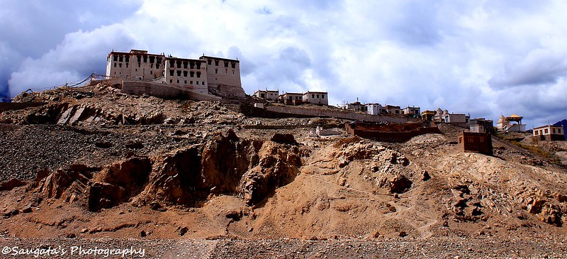
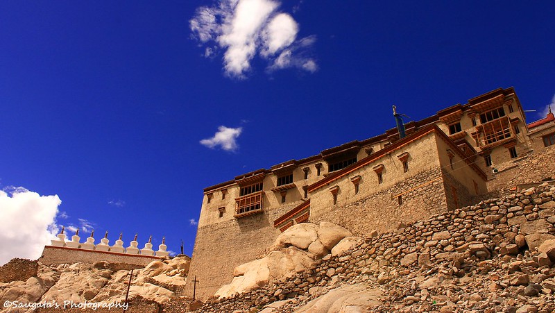
Shey Palace
With our heats already filled up with joy to see these beautiful monasteries in person (I have read and seen so many articles and snaps about them), our journey was all but over, as the Shey Palace was the next destination.
Shey Palace was built at the top of another hill by the kings of the Shey dynasty in 16th century in front of a small lake. The royal family don’t live here anymore and have moved to the Stok palace. Most of the palace were in ruins and had little to offer – apart from a golden top Chhorten. But again, the views offered were magnificent.
 |
| Shey Palace |
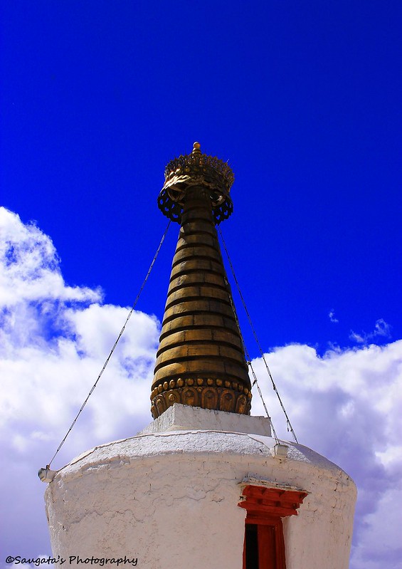 |
| Golden Top Chhorten |
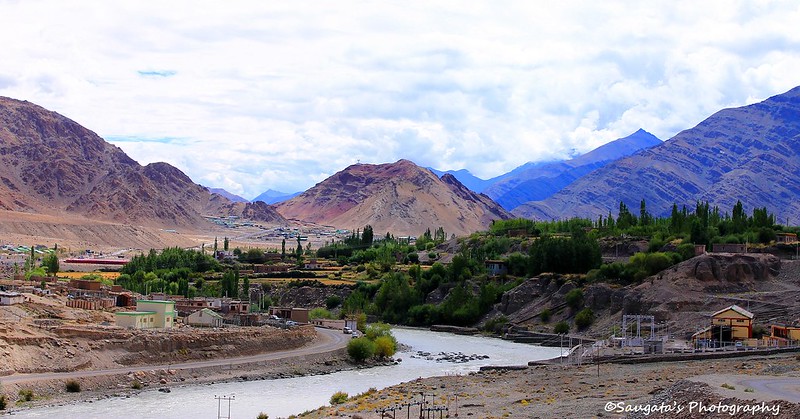
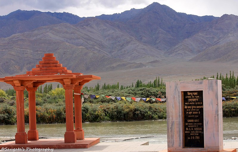
Sindhu Ghat
It was already 1.30 pm and so before we continued further, we thought it better to get our stamina back by consuming some food, so we had our lunch at Choglamsar village, on our way to Leh.
After the resumption, the first halt was at the Sindhu Ghat – a place newly built just besides the Indus river to worship the river itself. The place was really amazing and the fact that we could actually touch and dip our feet into the cold water of Indus made it more so. The whole place was so peaceful and quiet that apart from the intoxicating sound of water, nothing could be heard.
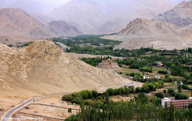
Leh Palace
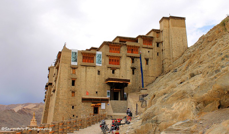
Leh Palace was built by the local rulers of the Namgyal dynasty around 1553 AD.
We didn’t expect much from the Leh palace after what we have seen from the Shey Palace, but we were wrong. Leh palace was much much bigger than its counterpart at Shey and was in a much better shape.
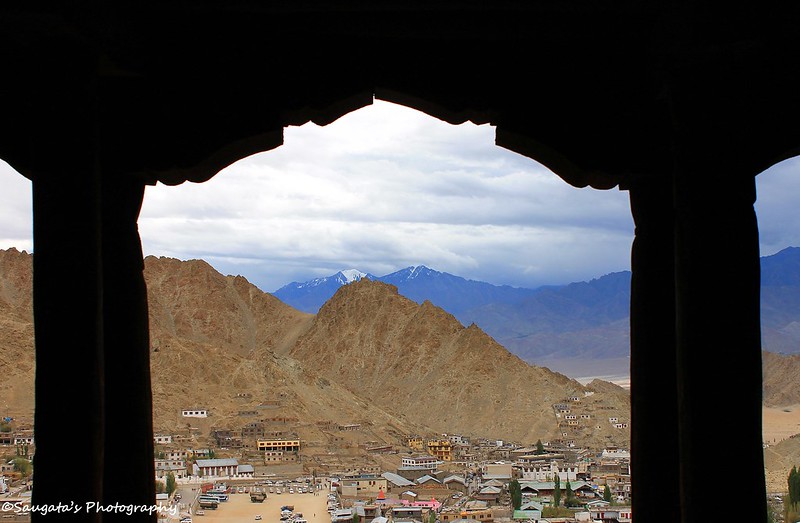
There were many rooms in the palace, explaining to us how the royals lived – many of rooms exhibited items and utensils. The whole city of Leh was visible from the rooms with the vistas beautified by the rugged mountains, found in abundance everywhere around the town.
 |
| Leh Palace |
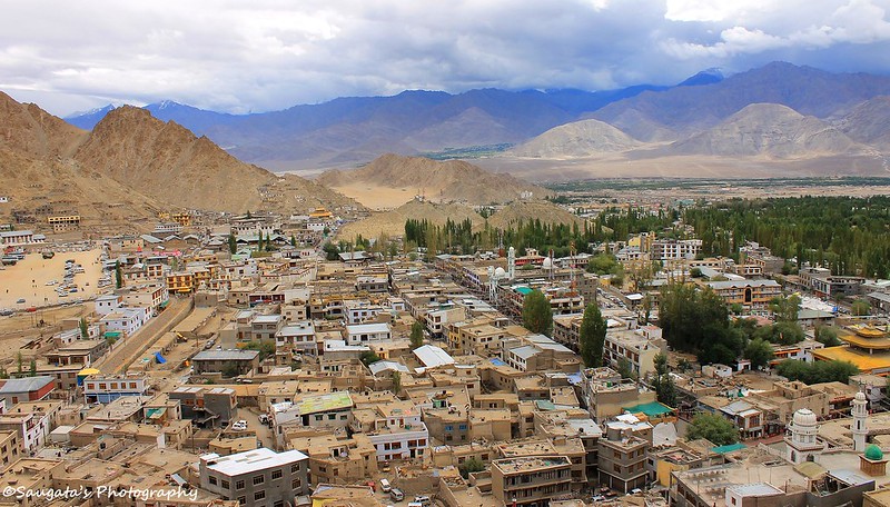 |
| Leh City, from Leh Palace |
 |
| Solitude |
Hall of Fame
The sky which promised to be a great day ahead was no more. Now it became cloudy and started drizzling, dampening our spirits. So when we entered through main gate of Hall of Fame, we didn’t know what to expect.
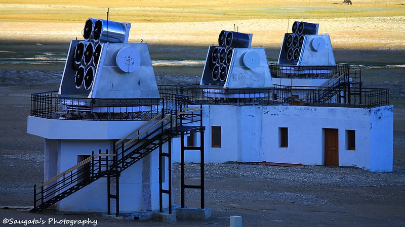
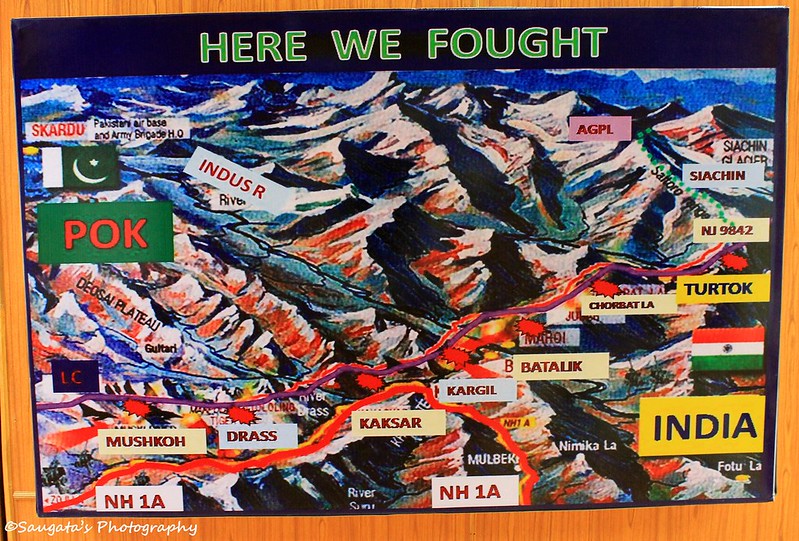
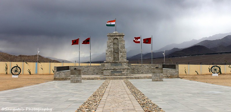
Hall of Fame was built by the Indian Army to showcase what it had done for the country, for people like us. It housed details of each victory India achieved through the hard-fought battles against its neighboring country – during 1962 to 1999. Pictures of jawans capturing and re-capturing the places from the opponents, archives, maps, detailed information of the war everything were greatly preserved. Even the actual arms recovered from the opponents and personal/official documents seized from the enemy were on display. The pictures of the martyrs made us sad, the pictures of the victories made us happy. But overall, we felt proud to be an Indian. A great Salute to our Army, Air Force and Navy!!!
When ‘Elvis had left the building’, we were definite that this was the best place we visited on the day.
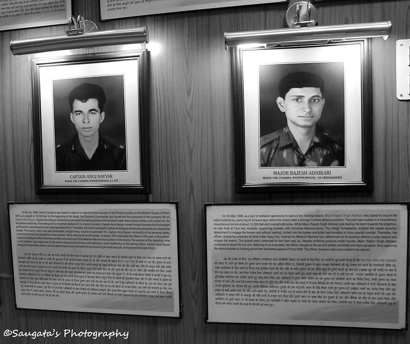 |
| The brave martyrs |
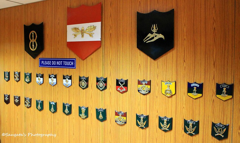 |
| Badges |
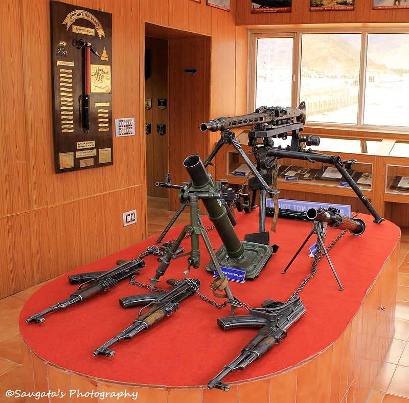 |
| Arms recovered from the enemy camps |
 |
| A funny one |
 |
| Indian Air Force Emblame |
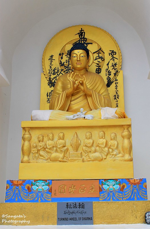
Shanti Stupa
Stanti Stupa was built by the Japanese as to show a symbol of love and peace in the region. As per plan, Shanti Stupa was on our list to be visited during the dusk. The day was about to end and it was almost dark because of the cloud, so it was a great timing to be at the feet of Lord Buddha. The Leh city was slowly sinking in the dark with some lights flashing here and there like fireflies.
Shanti Stupa is always a great place to be but after a tiring day. Shanti Stupa lived up to its name – we found what ‘Shanti’ is, even if temporarily.
Rigzin dropped us in front of Asia Guest House and advised us to take rest, as we would be going for a long journey the next day – towards the Nubra Valley.
 |
| Shanti Stupa |
 |
| The One |
 |
| The view from Shanti Stupa |
To be continued...
Next: Nubra Valley, snow and Sand