Previous: Day 2 - Srinagar Leh Highway
Day 3, 10th September, 2012
Lamayuru > Alchi > Likir > Leh (175 KM)
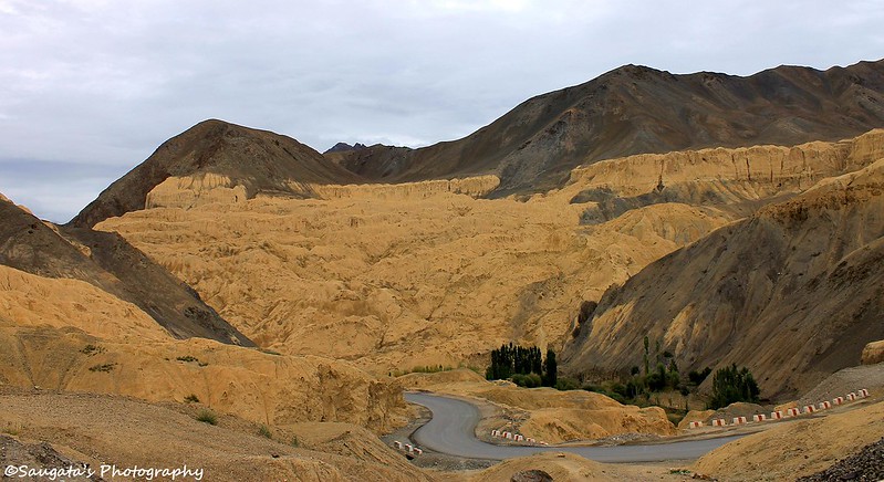
Lunar Landscape
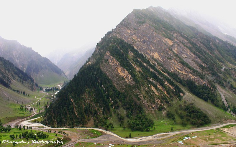
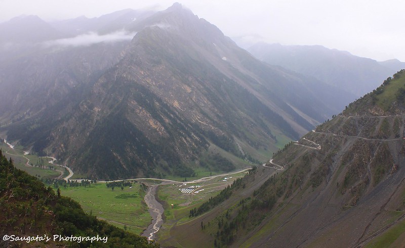
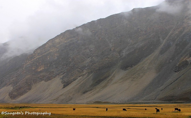
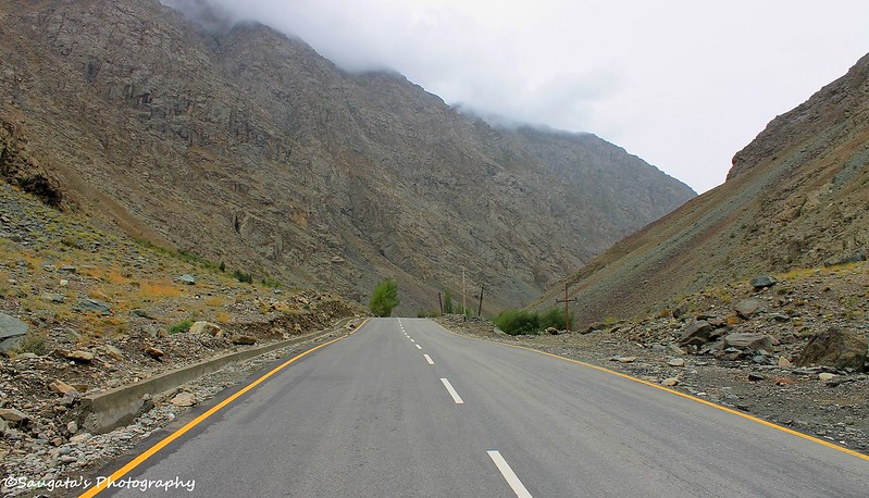
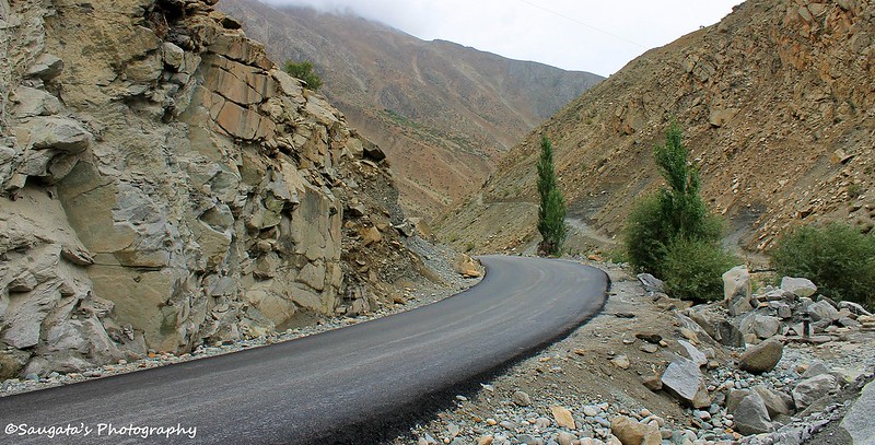
We started early around 7.30 am from Lamayuru in order to reach Leh early and make use of the day by roaming around the Leh market (married men travelling with family cannot avoid the market!). Anyway, after the very moment we departed from Lamayuru, we came across the next ‘tourist spot’ called Lunar Landscape or Moonscape or Moonland. The place is said to be very similar to the topographical nature found on the moon, but we had already seen so many similar moonscapes on our way, we really found it nothing new or extra-ordinary. 
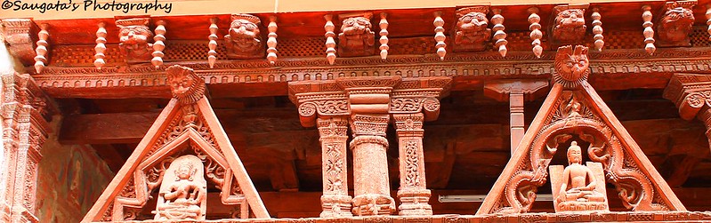
Alchi
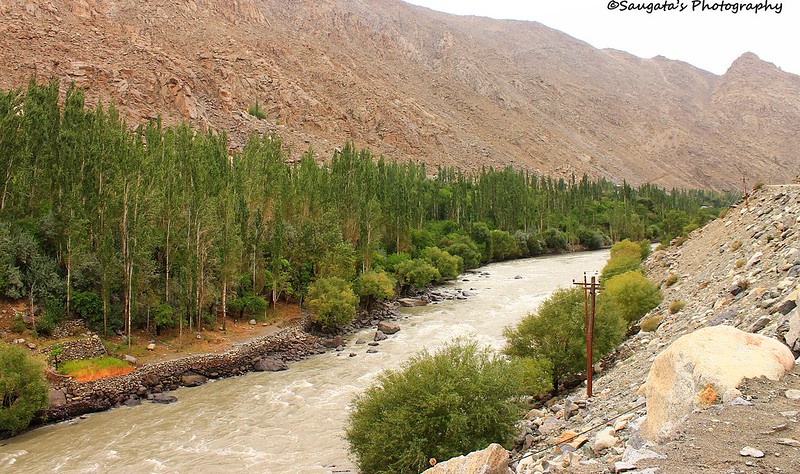
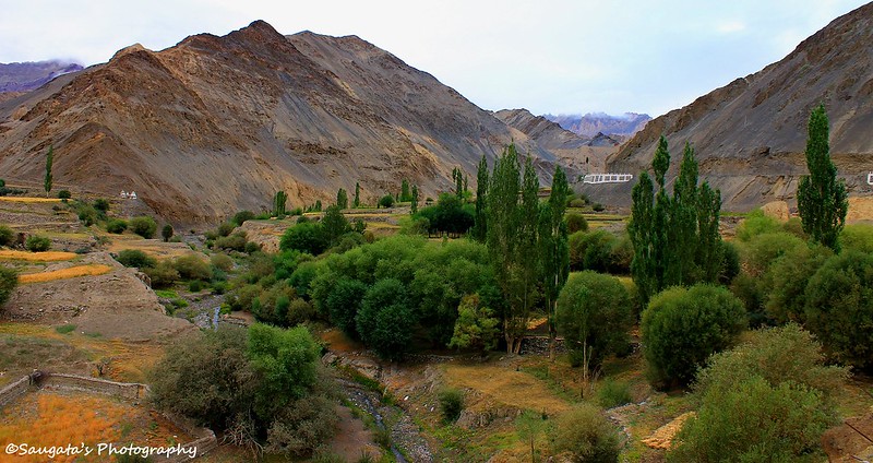
On the Srinagar Leh highway, one has to take a right turn towards Alchi village to visit the Alchi Monastery. We crossed the Induskar River (the name is my invention since it is the combination of the rivers Indus and Zanskar) and traversed through one of the most beautiful landscapes towards Alchi. From the diversion it barely took 20 mins to reach the parking at Alchi village, beyond which a narrow alley pointing gradually downwards would lead the entrance of the Alchi Monastery.
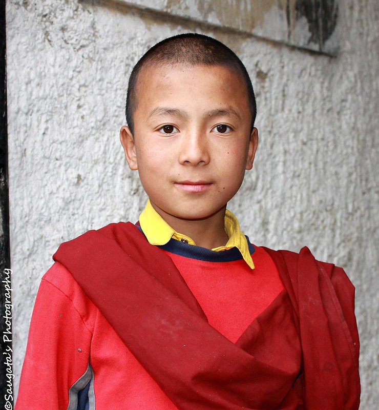
Inside the monastery, there were magnificent idols and paintings of Buddha and His life, but photography was restricted inside. And the exterior was neither that photogenic nor interesting compared to the treasures hidden inside, so many might find this place of little or no worth. But the place was more than 400 years old so for history enthusiasts the place could be a no-miss.
We came back to the parking once we were through with Alchi, had our breakfast and then set out for Likir.

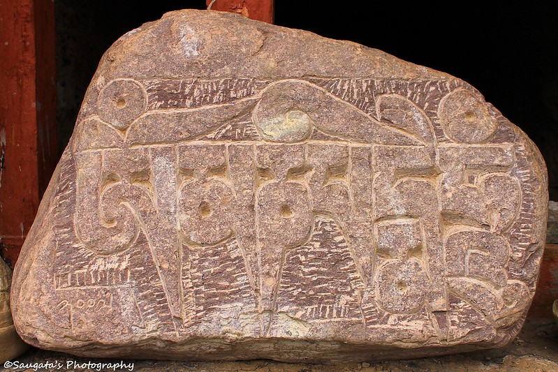
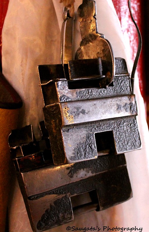
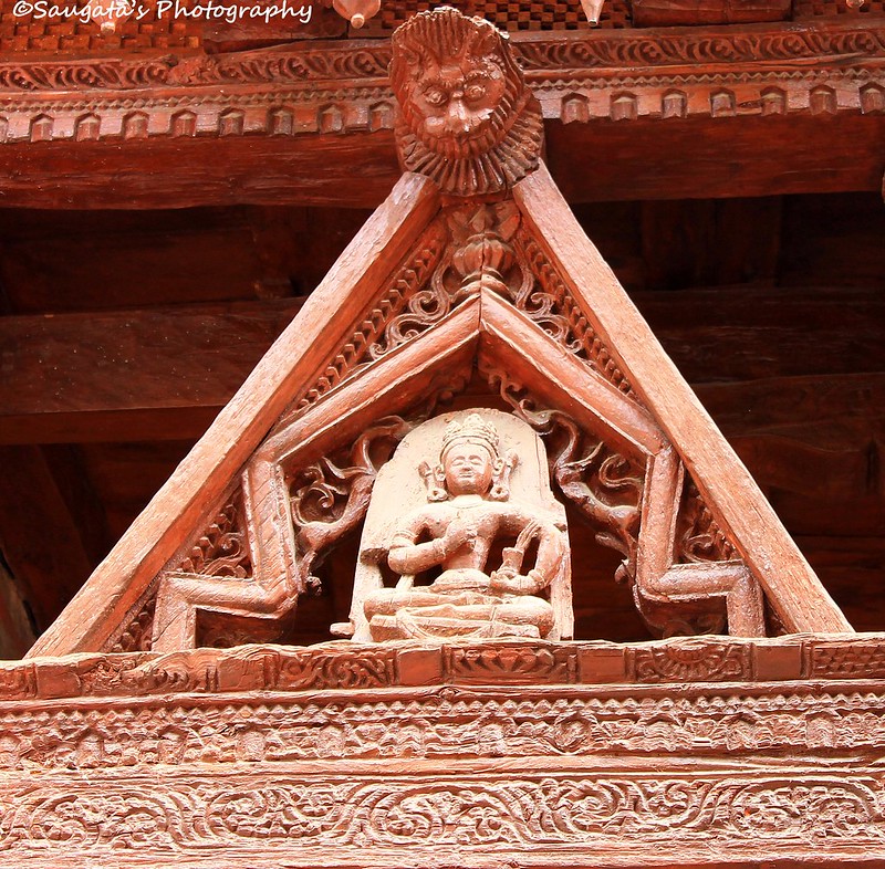 |
| Carvings at Alchi Monastery |
 |
| Alchi Village |

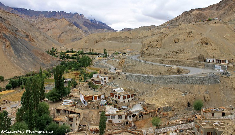
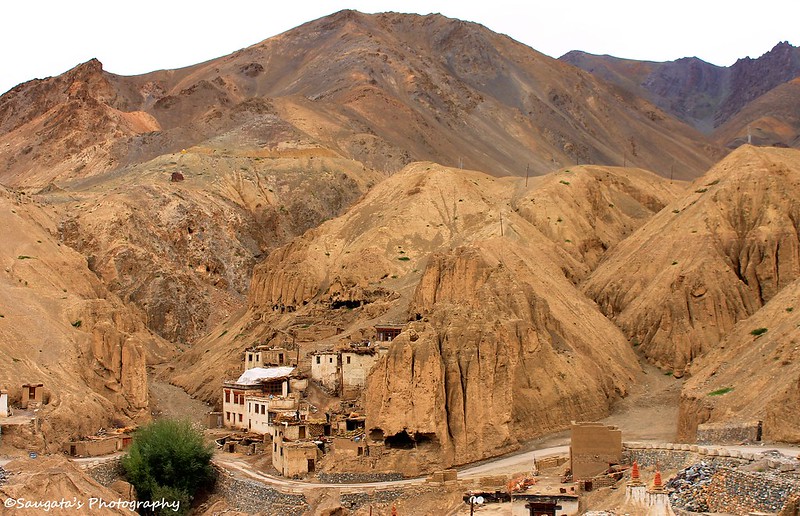
Likir
From Alchi, we again returned back to the main highway with the path already travelled and through those same gorgeous vistas. The Induskar river would flow in the opposite direction for the whole of the journey ahead.
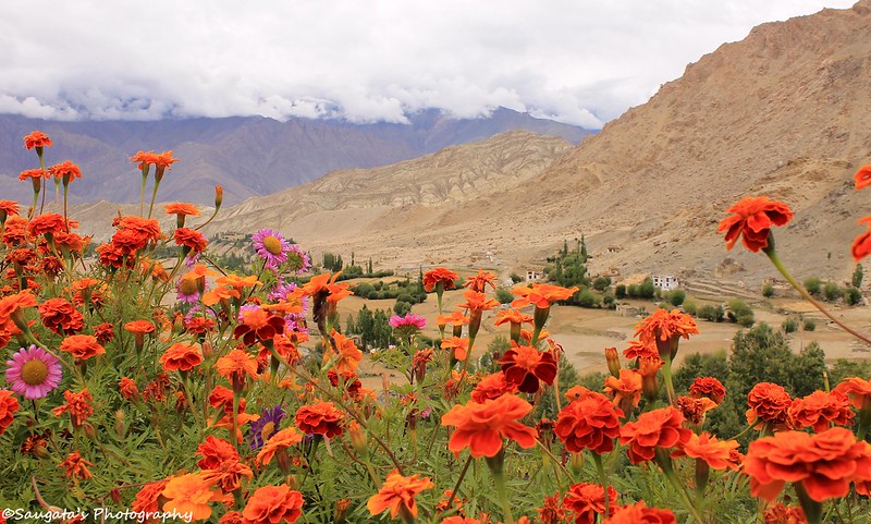
For Likir village, once again, we had to take one more diversion, but this time towards the left from the highway. After a very short off-roading from the off-road, we started climbing through a very narrow road. Fortunately there was no car from the opposite direction otherwise I don’t want to think what might have happened. After 15 mins or so through this road, our fears gradually gave way to exclamation as the Likir Monastery appeared after one turn. The scenery was so breathtakingly beautiful that I forgot to take photos.
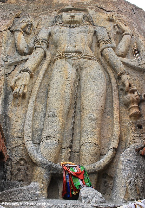
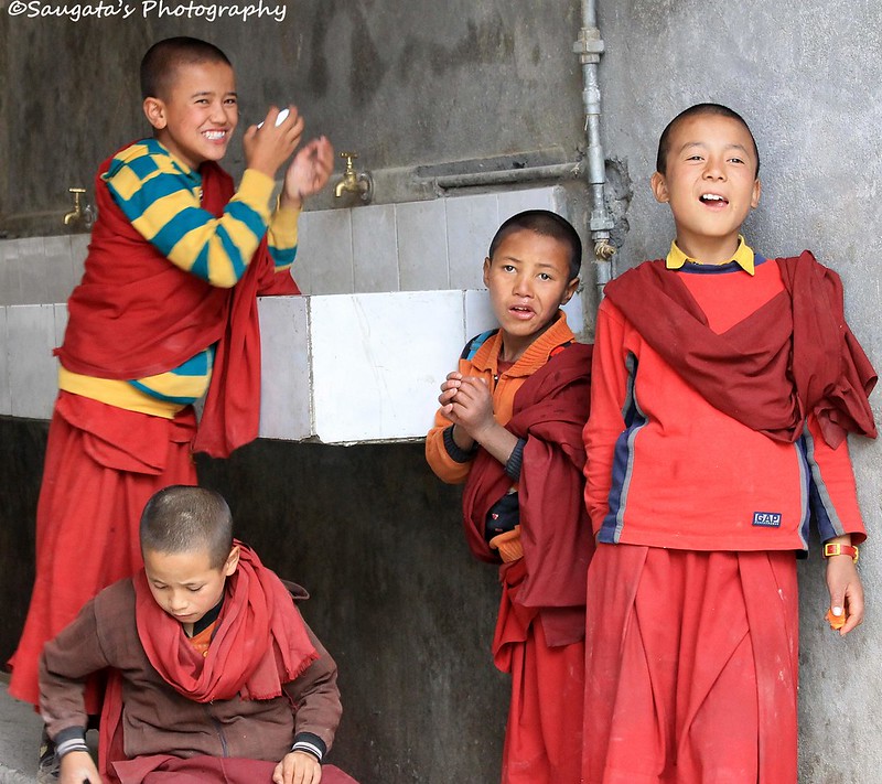
We appeared at the parking without any more incidents worth mentioning. There was a giant statue of sitting Buddha outside and behind the monastery which was an added bonus. And no photography restriction anywhere in the monastery made it more alluring like us.
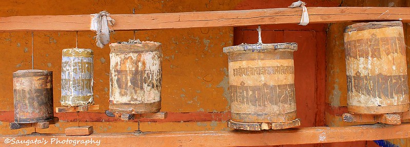
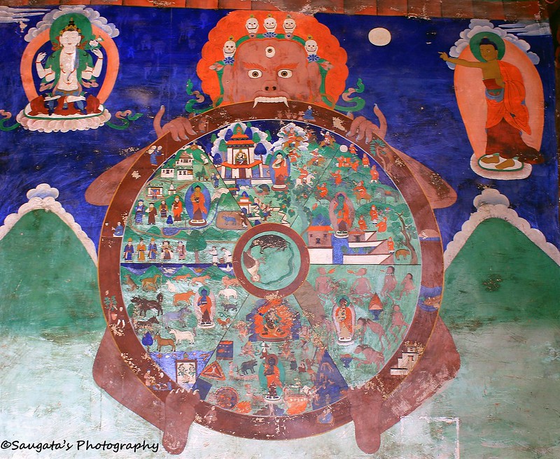
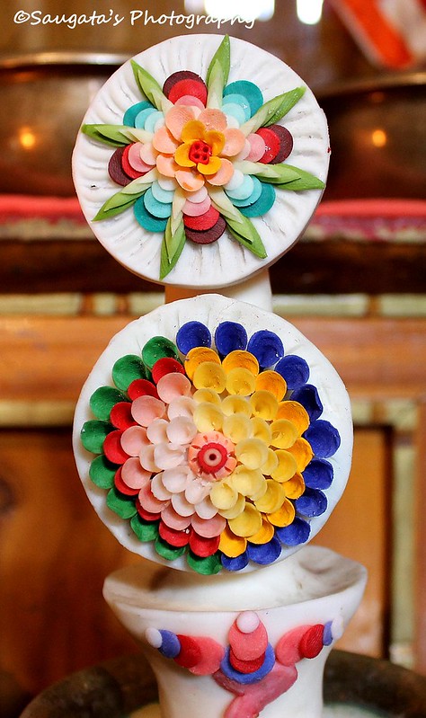
We saw the monastery closely. Inside there were many Buddha idols kept to be worshipped as well as too many utensils and curious little things – apparently they were used in prayer or as offerings. Paintings, thankas and everything else produced an unquestionable sacred atmosphere.
We returned back via the same scary path to the main road – again no cars from the opposite direction this time. But this time I didn’t forget to shoot Likir through the view finder.
 |
| Likir Village from the Likir Monastery |


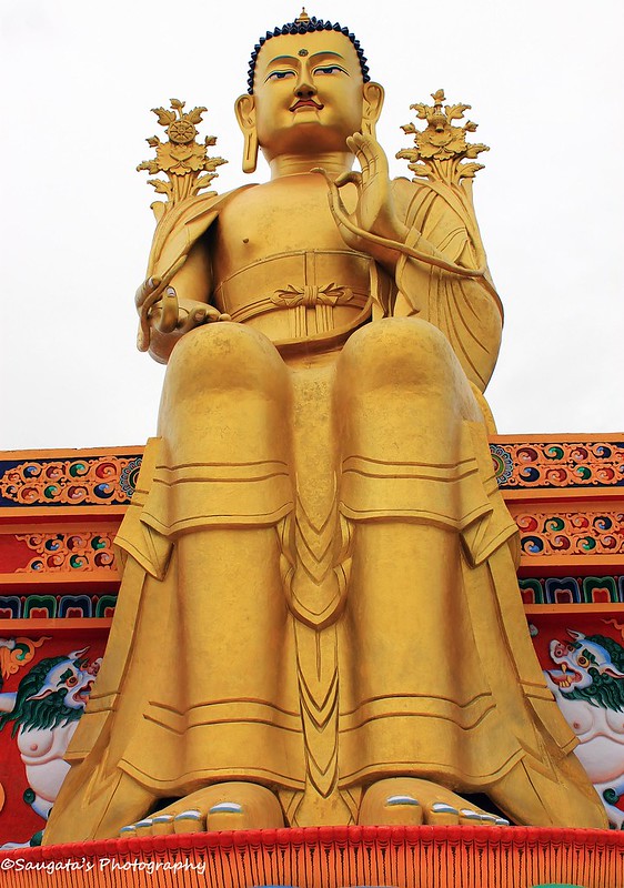 |
| The Sitting Buddha |
 |
| The Deserted Ones |
 |
| What are these? |
 |
| Offerings |
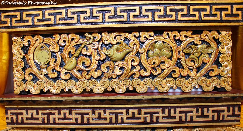 |
| Sacred Carvings |
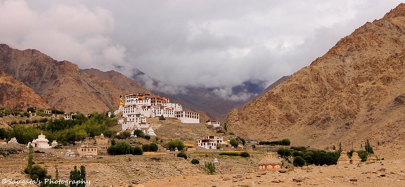 |
| Likir Monastery with the Sitting Buddha beside |
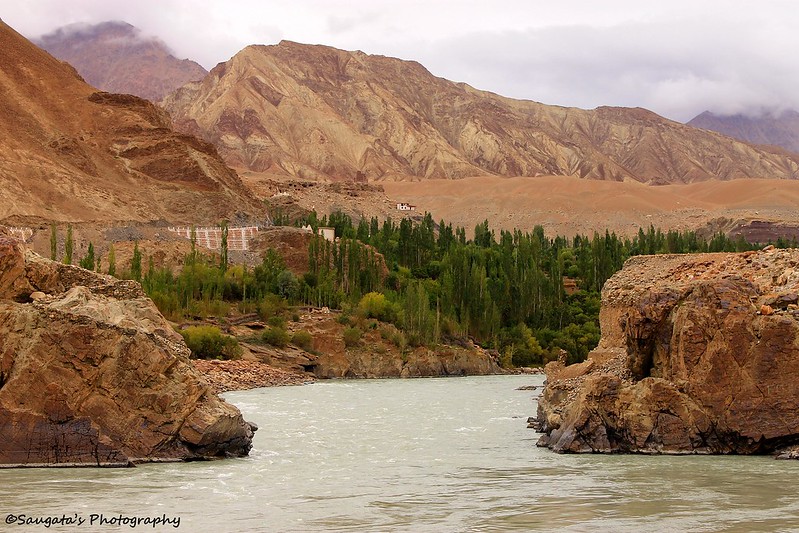
Confluence at Nimmu
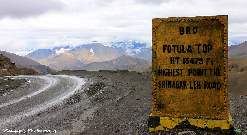
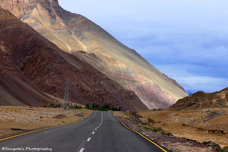
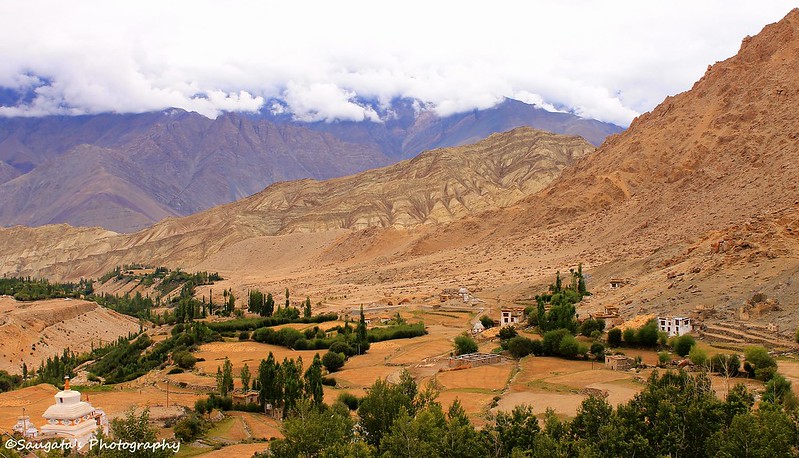
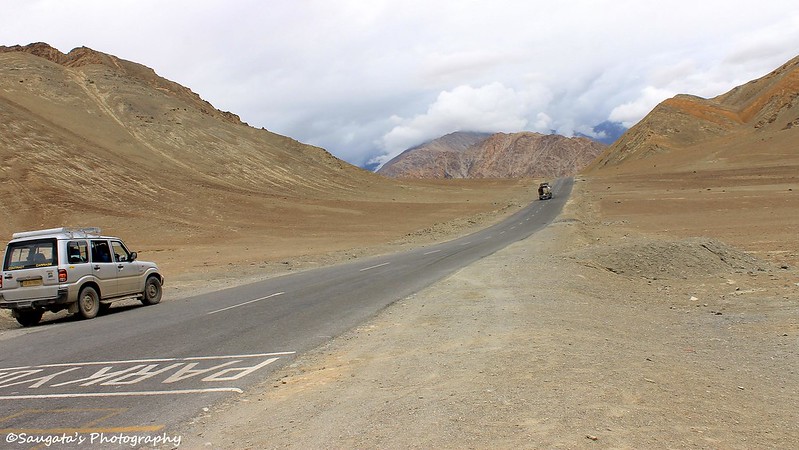
Once we were on the main road once again, the journey began towards Leh through the Basgo Plains – which is a fantastically laid tarmac of 10-15 kms on a plain surface at a stretch. We were hard-pressed to believe that all these were above 3500 mtrs od sea level. BRO does a great job – but one has to see it to believe it.
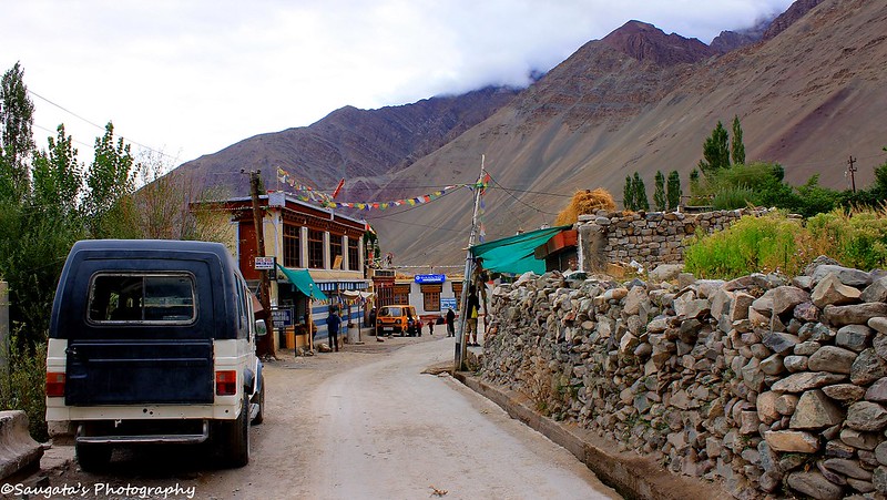
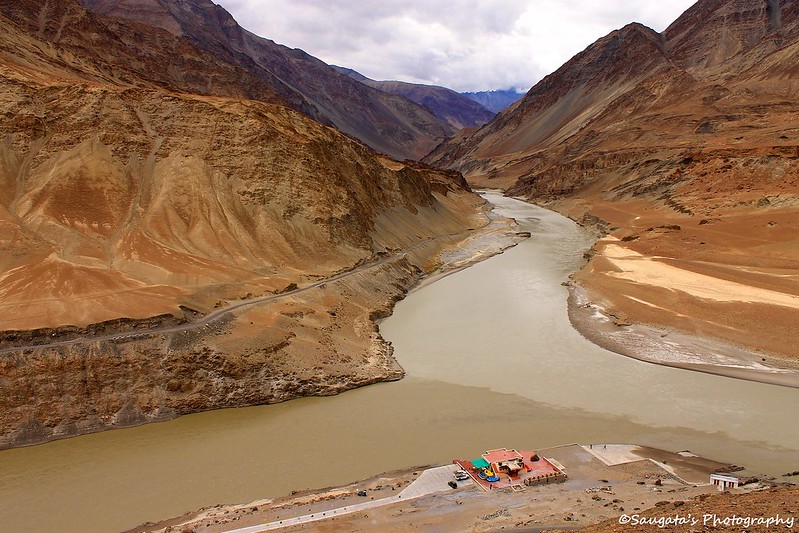
Nimmu is a very small village of little significance, nestled at the lap of the hills – 55 kms from Leh. One might just skip it considering a stay not worth for a longer than five minutes at the most. Had it not been for the Confluence of Indus and Zanskar, this village would have never been recognized by the tourists perhaps.
The confluence where Indus from Changthang Valley and Zanskar from the Zanskar Valley converged with each other and transformed into Induskar, was a very prominent one due to the difference of the colours of the water carried by these two. In the picture below, Indus on the left hand side is grayish and perhaps a couple of shade darker than its right hand counterpart, Zanskar.  |
| Basgo Plains |
 |
| The Confluence |
 |
| The bridge looks so small |
Magnetic Hill
Some more drive towards Leh brought us to a place called the Magnetic Hill. There were so many mysterious information available about this place over the internet stating that the car would actually defy gravity and go upwards when the engine is killed and the car put on neutral. BRO even put up a signboard stating the same. But, the place actually had nothing, absolutely nothing of astonishment. It was a sheer disappointment for us, even Sonamji was a bit disgusted about this place.
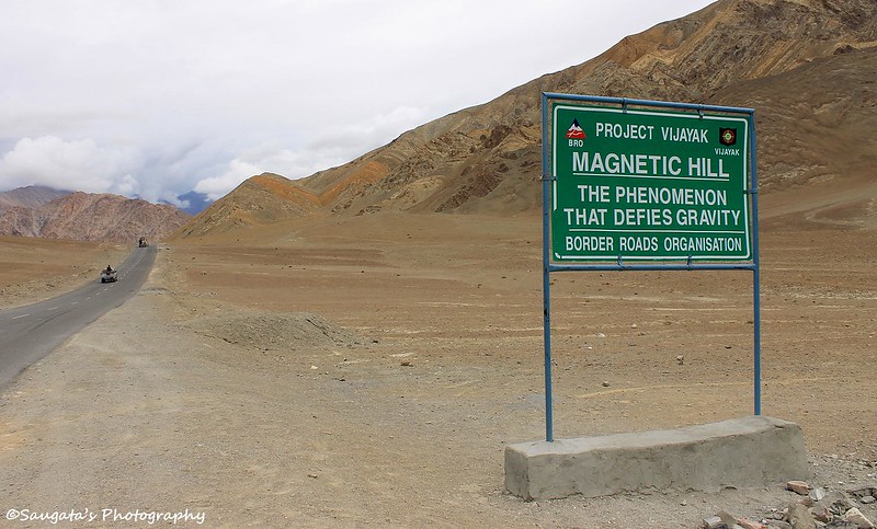 |
| Interesting Signboard - Marketing Gimmick? |
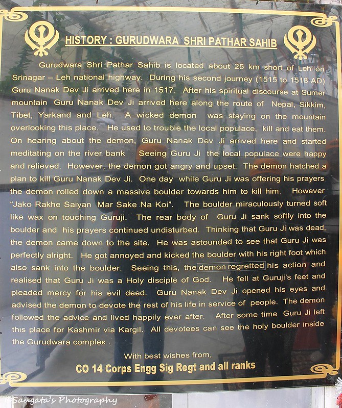
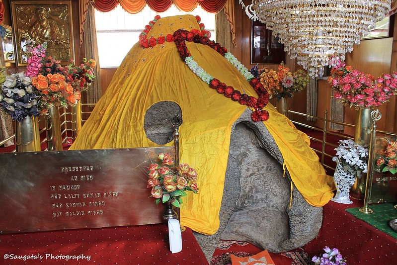
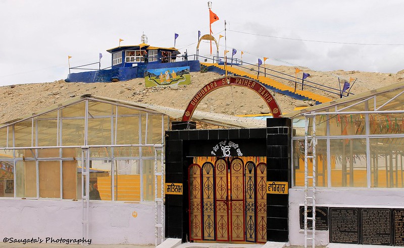
Gurudwara Patthar Sahib
With mixed feelings we drove, drove and drove – but again not for long, for we came across the next attraction called Gurudwara Patthar Sahib. It was stated that in ancient times, a demon who loitered around in this region tried to kill Guru Nanak ji with a huge stone. That stone did not work because of Guru’s blessings and is now worshipped as a Gurudwara. The story is given in the picture below.
Atheists and the believers can argue, but the place was cool enough to take a breather. And the sweets and hot tea offered by the disciples to every traveller was really a welcome break.
 |
| The Sacred Stone (Patthar) |
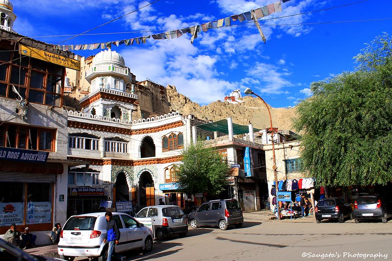
Leh and Rigzin
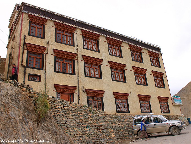
After an hour or so, around 12.30 pm we were in the capital of Ladakh. Sonamji dropped us in front of the Asia Guest House. The room was spacious and clean enough for a love at first sight and the staffs (two girls) were full of smile to win over you. The garden in the courtyard provided a much needed relief to the eyes from the barren lands of Ladakh – I think that’s the reason why every house and hotel in his arid region maintain some form of the garden inside the premises.
I called Rigzin and he arrived within 15 minutes to meet and greet us. When he arrived I was touched by the Ladakhi hospitatlity, once again. He was so cordial and his behaviour was so genuine that it flushed away the barriers of different cultures and languages instantaneously.
The plan was all set; we were to leave around 3 pm for the inner line permit after the lunch and a couple hours rest and then he would drop us around the Leh market where, as per his strict instruction, we would roam slowly without exerting ourselves.

Inner Line Permit
Sharp 3 pm Rigzin arrived in front of the guest house and we were all set. I filled up all the forms, but since we have arrived a day before Rigzin advised me to write everything afresh instead of changing the dates in the same forms. So from the DC office we ran towards the only Photostat shop nearby to get the standard application form. Rigzin came handy this time (and he would be for the countless times going forward) by getting everything sorted out as I experienced a bit of breathlessness after the short run to the shop.
Anyway, when we arrived back at the entrance of the DC office after Rigzin has sorted out the documents in order and I filled them up (I did it so fast that no wonder Rigzin proposed if he could nominate me to the Guinness Book of World Records as the fastest writer in the world), apart from me no one could be seen applying for the permit which was a blessing in disguise.
We submitted the documents at the designated counter. They verified the same and asked for a fee of 200/ (10 days – 10/ per person per day as permit fee) and passed the same to the next counter where I was asked to pay 80/ (20/- per person as wildlife protection fee so 40 rupees + 20/- per person as a donation to Red Cross so 40 rupees). We were again passed to another counter – the final frontier. Here the permits were stamped and I paid 400/ (200/ per person as Environment Protection Fee). So in 15 minutes and with 680/ I got what I wanted – a 10 days Inner Line permit to roam around Nubra Valley, Turtuk, Pangong Tso, Tso Moriri and Hanle.
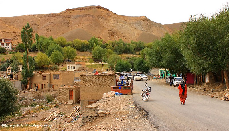
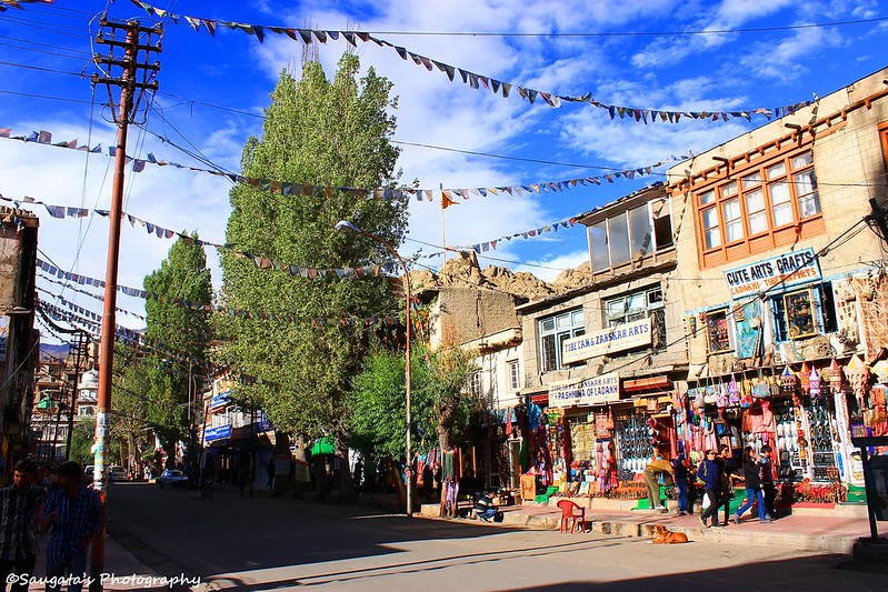
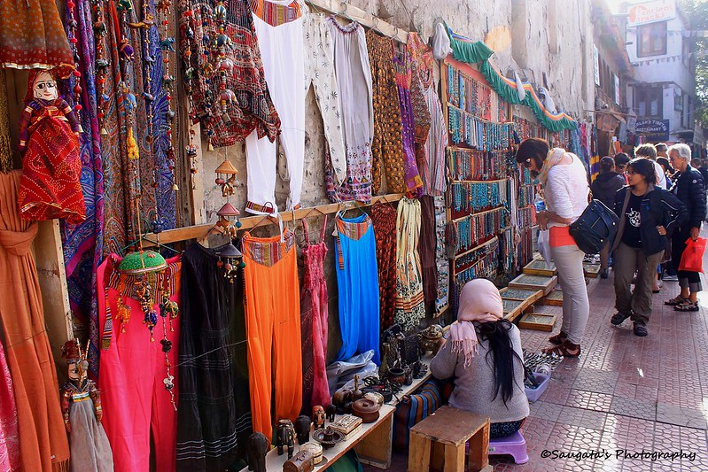
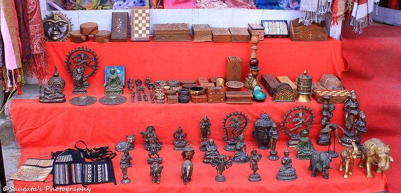
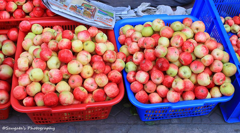
Around the Leh Main Market
Rigzin dropped us nearby the Leh market where I was to follow my better half for the next couple of hours towards any direction. I did it religiously no doubt. The functional SBI ATM helped me of course, whenever my wallet ran out of cash, but fortunately that happened only once.
While my wife was busy in bargaining and shopping, I was more interested in exploring the market. The market was just like a market should be – one can find each and everything apart from the various art and crafts showrooms and shops. Sweets, books, accessories, ornaments, food, spices, clothes and many more. And the sky was becoming clearer.
When the dark prevailed, we came back to our hotel – as slowly as possible as Rigzin mentioned – for a much needed rest. Fortunately we did not encounter any symptoms of AMS whatsoever. Next day we would roam around the Capital to complete the local sightseeing.
 |
| Shoes |

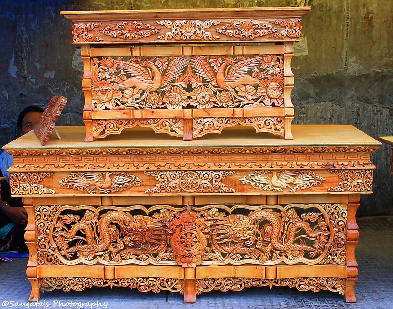 |
| Carvings |
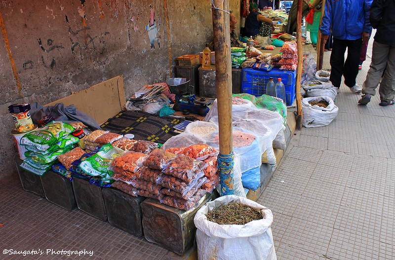 |
| Spices |
 |
| The Ladakh Special |
Next: Leh Local Sightseeing