Day 5, 12th September, 2012
Leh > Khardung La > Khardung > Deskit > Hunder (125 KM)
Khardung La
We started at around 9 in the morning towards Nubra Valley. The first major stop was going to be at the Khardung La top – World’s highest motorable road. Immediately after we left Leh, the road became an ascent, winding up. And we paid for our mistakes of not leaving early when we saw the Army convoys have already started embarking towards Khardung La. But fortunately we managed to overtake them after a little bit suffering – from diesel fumes and slow pace.
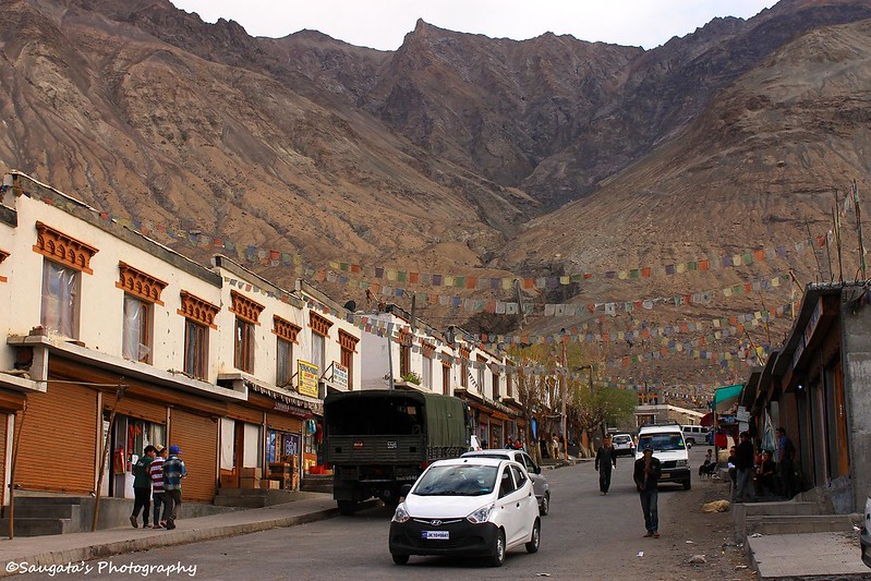
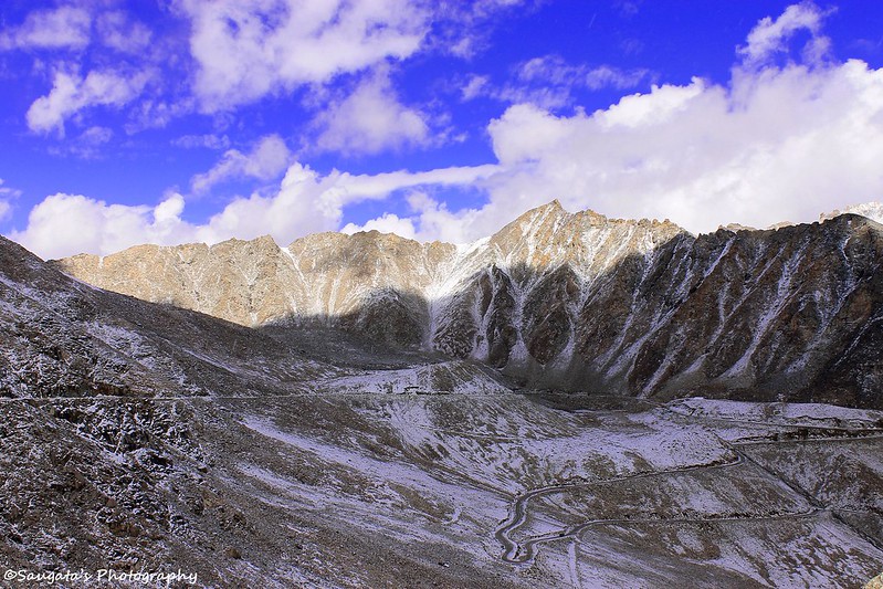
We had to stop at North Pullu first to submit the permit copy – which was taken care of Rigzin. The weather was clear with the snow-capped peaks visible, though the snow were really less, it was a bonus as we didn’t expect to find any during this time of the year.
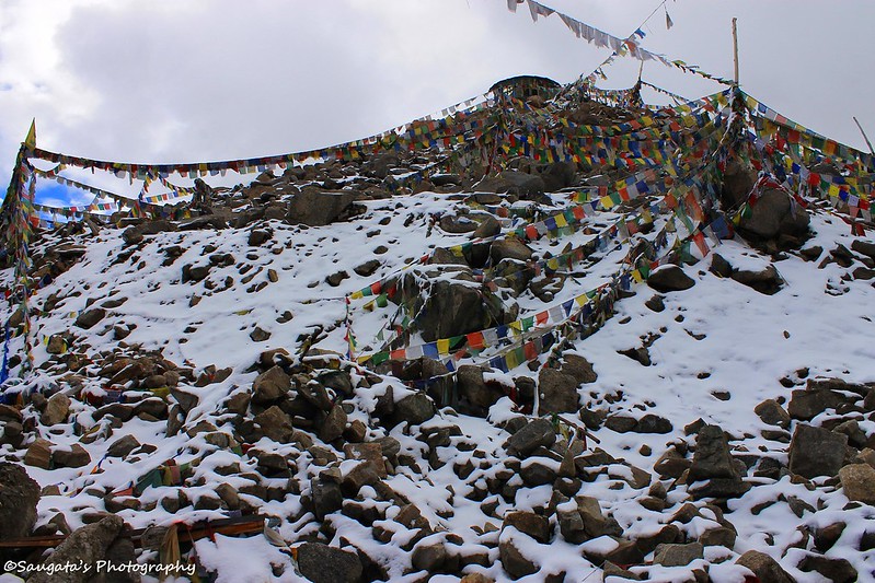
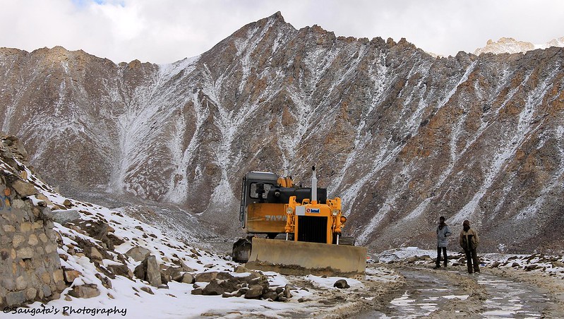
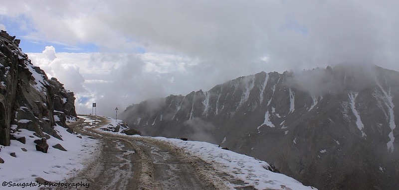
But the ascent gradually became an affair of horrendous roads –narrow, untarred and full of slush and mud. On top of this, the weather gradually became cloudy and colder. Rigzin mentioned that there was a great a chance to find snow at the K-top. So we were literally excited and our joy knew no bounds when we saw the first heap of snow.
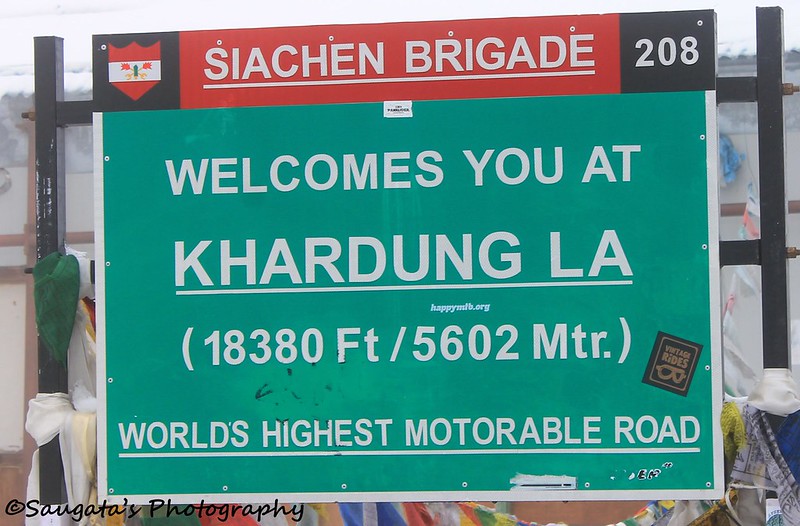
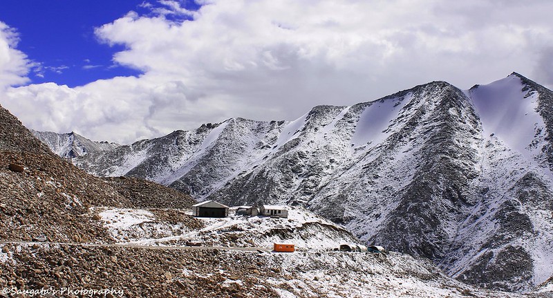
Through a somewhat scary drive, we reached at the K top where the famous signboard advertising the ‘World’s Highest Motorable Road’ was enough for us to rejoice. And the top was covered with snow and the weather was chilling. We had to have a cup of black tea at the ‘World’s Highest Cafeteria’. The top was crowded by people like anything.
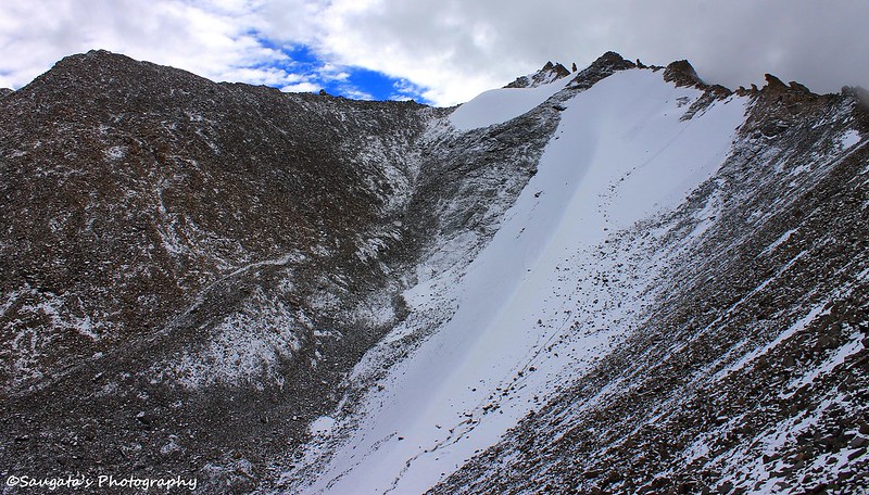
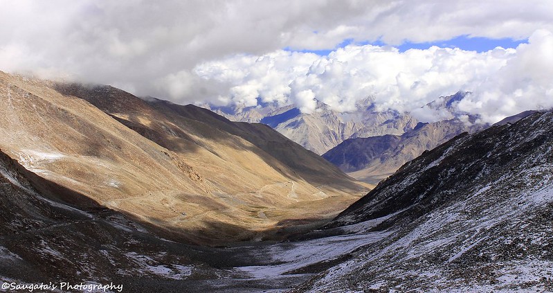
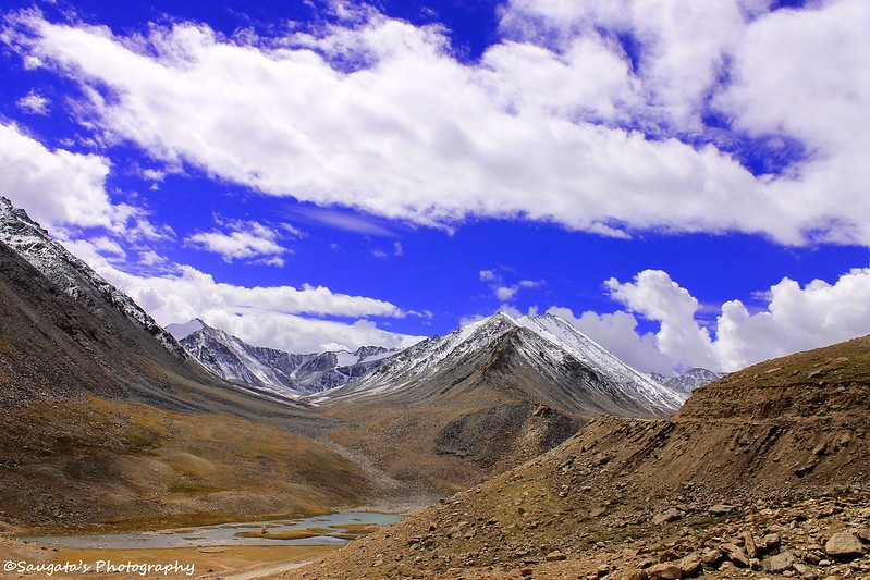
The landscapes from the top were awesome. One can view the roads on both the sides of the pass. At one side it was fully cloudy whereas towards Nubra the clear blue sky was awaiting us – both the sides contained a few peaks snowed under. It was hard to believe that within a few hours we would be trotting on sand dunes!!
We spend close to quarter to an hour at the top before we started again. Fortunately we did not have any AMS symptoms while at the top, apart from a very slight headache to me.
 |
| North Pullu, on the way to Khadung La |
 |
| First View of the Snow |
 |
| Khardung La Top |
 |
| Snow view from K Top |
 |
| Continuous Maintenance by Army and BRO |
 |
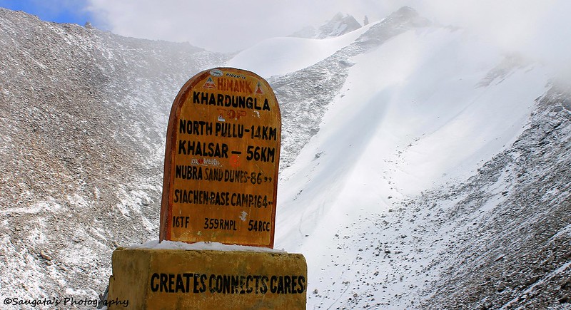
| The Boards says it all |
 |
| Towards Leh, from where we came |
 |
| From Snow to sand - only 86 KMs!! |
 |
| View from K top, towards Nubra |
 |
| Landscape from K top |
On the way to Nubra
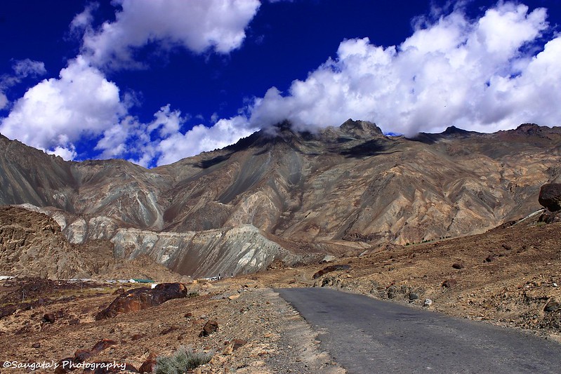
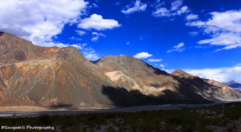
From Khardung La, towards Nubra was almost a complete ascent. The snowcapped peaks gradually faded into the background, and the familiar Ladakh landscapes took its place with high arid mountains.
We had another stop at South Pullu to submit another copy of permits. After that it was a straight drive to Khardung village where we had our late breakfast + early lunch.
From Khardung we started again towards Nubra, we passed by the diversion which we would take towards Pangong Tso through Wari La after a couple of days.
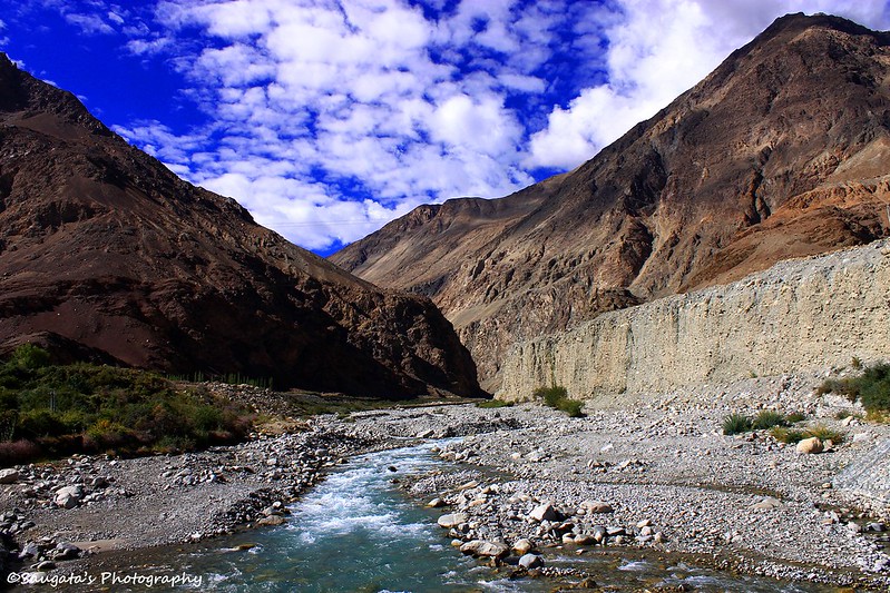
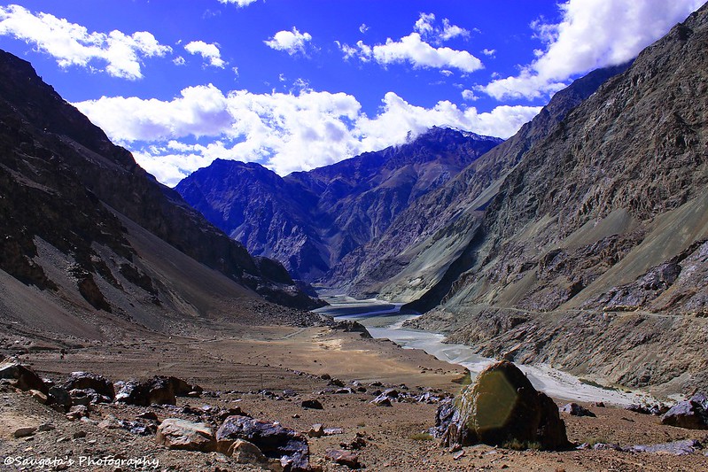
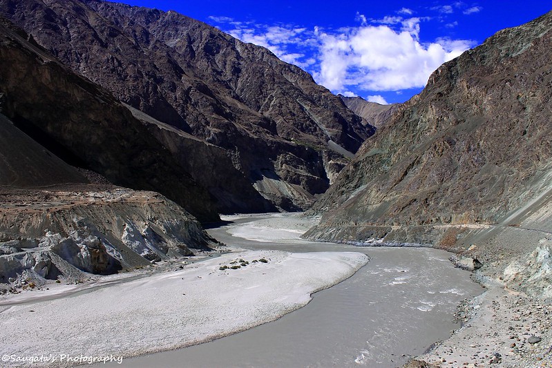
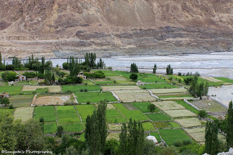
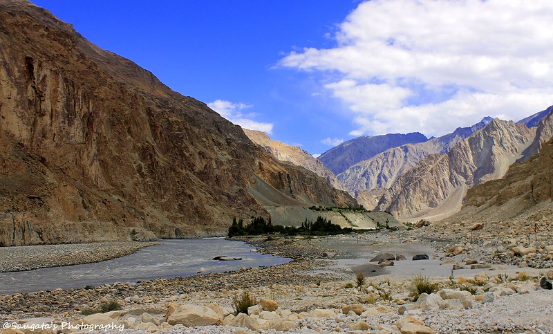
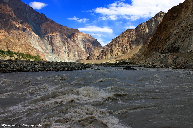
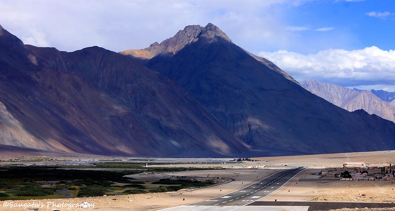
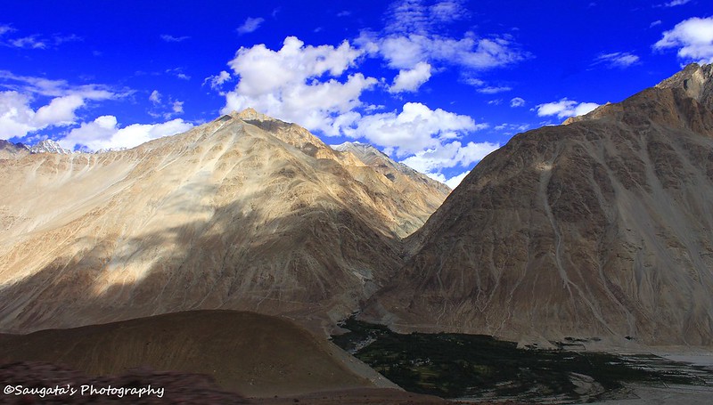
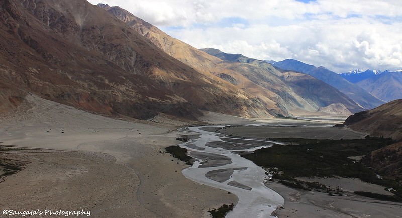
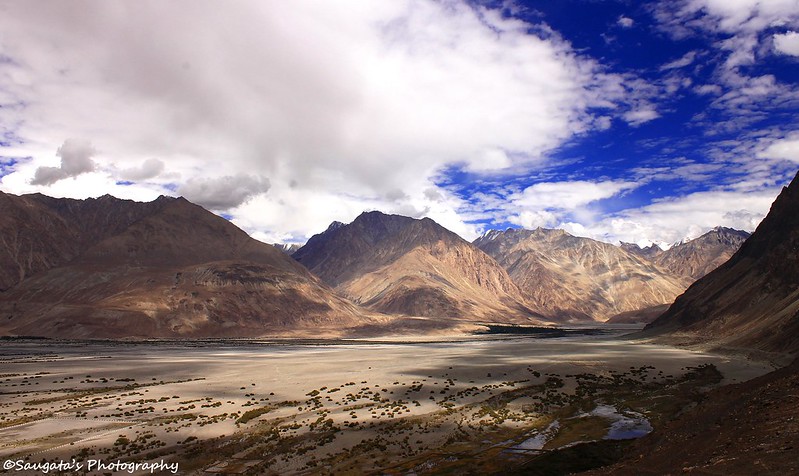
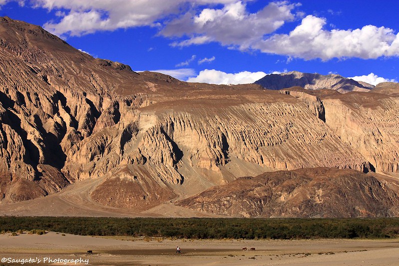
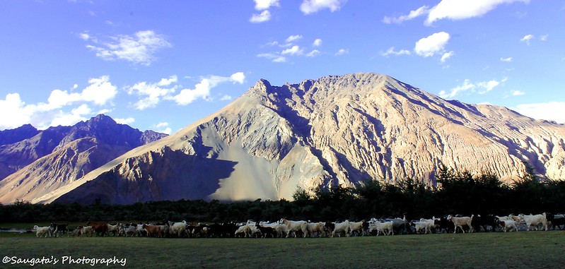
Slowly the vistas started transforming themselves into a desert. It was sand all over – the Shyok river, with its zigzagging ways, appeared as a resilient fighter against a hostile environment. And sometimes a patch of greeneries – Oasis – were too pleasing to watch. Rigzin mentioned that both Deskit and Hunder were two such Oases in the middle of these barren lands.
 |
| Leaving Khardung La behind |
 |
| Phunshuk Wangdu's Resto at Khardung Village |
 |
| Erosion |
 |
| Nubra Valley - approaching |
 |
| Shyok River |
 |
| Sand throughout |
Deskit, the Beginning of an Amazing World
A long drive through the sands and besides the Shyok river a diversion towards left would be required to move towards Nubra valley whereas the straight road ahead would lead the traveller towards Sumur and Panamik. We as planned headed towards Nubra.
We could spot Deskit from the moment we saw it as it was only patch of greeneries in midst of the ‘sandscapes’. But since we didn’t have a plan to spend the night at Deskit, Rigzin suggested we could simply visit the Monastery and then proceed towards Hunder.
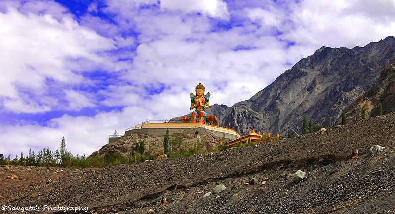
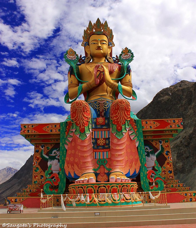
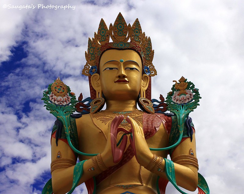
The Monastery has built a gigantic Buddha statue on one of the hillocks. The place was fantastically located where we could see the whole of Nubra Valley from. The Shyok river made its own way through the sand and the greeneries. The statue itself was so huge that we felt ourselves like ants at the feet of the divine idol.
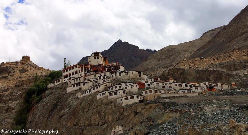
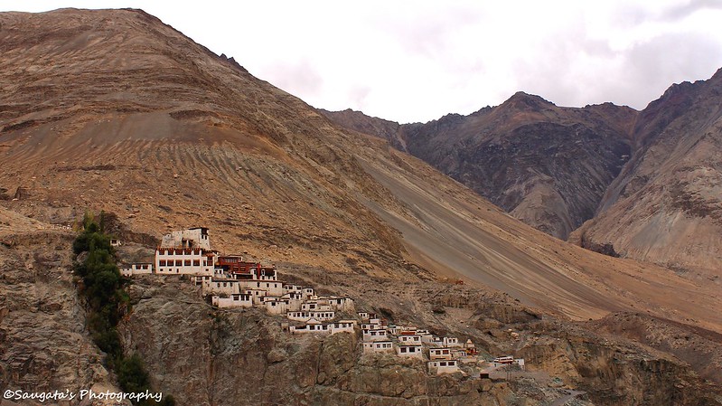
Deskit Monastery, like all other monasteries in Ladakh, was perched at the top of a hillock, followed by a steep climb through the stairs. When I reached at the Deskit Monastery through those killer stairs, it felt like the last day of my life, I was so gasping for breath. I forgot about everything, let alone clicking some snaps.
We proceeded to Hunder, 7 Km away from Deskit, only when I fully recovered myself.
 |
| Deskit Monastery |
 |
| View from the top of the Deskit Monastery |
 |
| Another view |
Hunder, the Sand Dunes and Bactrian Camels
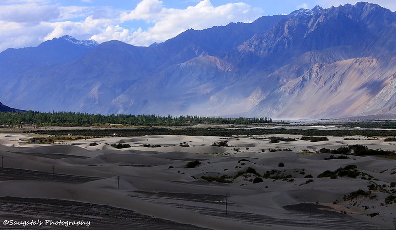
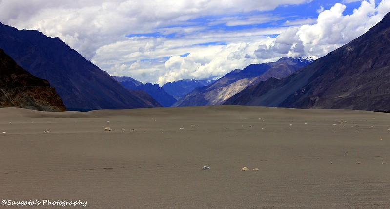
As we were approaching Hunder, the sand dunes appeared at the right side of the road. We were spellbound as well as delighted to experience this transformation – from snow to sand.
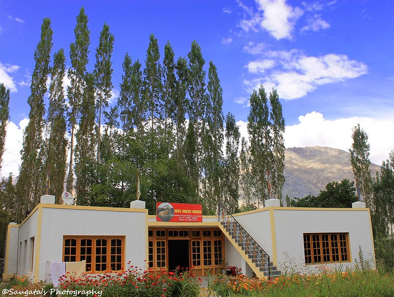
Hunder was our destination for today and since it was already 3.30 in the afternoon, the first preference was to find out a decent accommodation. Rigzin did it without any difficulty; he searched a great accommodation with a very decent rate (Ibex Guest House, 600 per night per DBR with attached bath) for us. We threw our luggages, relaxed for a few minutes and headed towards the main attraction of Nubra, the Sand Dunes.
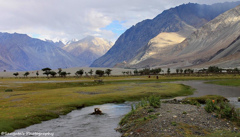
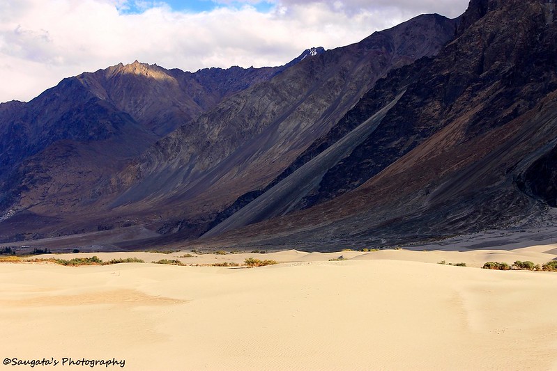
When Rigzin dropped us at the Parking, we alighted and were instantaneously mesmerized. All our eyes could see was Sand, just beneath the snowcapped peaks – incredible. A small stream of water penetrated the desert with its tremendous will-power, giving birth to the patches of greeneries around and the Oasis as a whole.
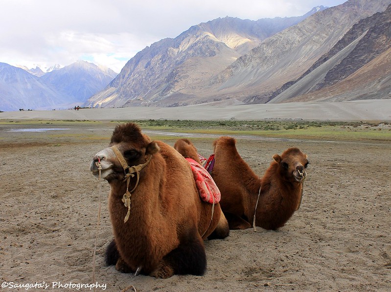
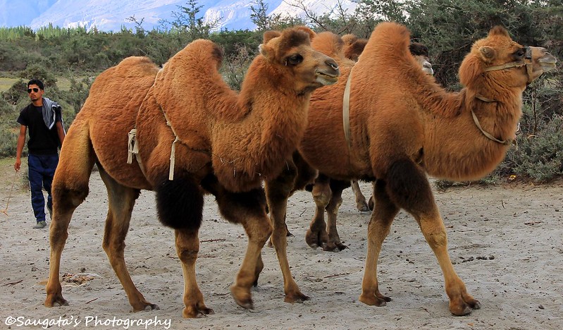
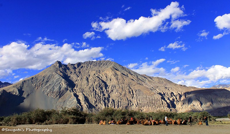
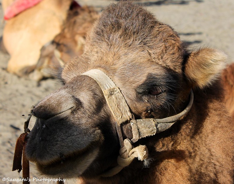
We could see people riding camels from a distance so we moved towards the spot from where the camels could be hired. The camels, as we read, had two humps instead of one as found at the deserts. These are actually called the Bactrian/Central Asian Camels. They could not be classified as the best of beauties, but I believe beauty cannot replace when it comes to usefulness.
We took the Camel rides through the sands, for half an hour – one of the most amazing experiences of my life. Once the bumpy ride was over, we tried to explore the dunes.
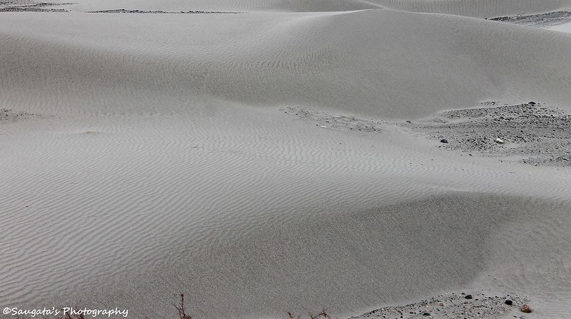
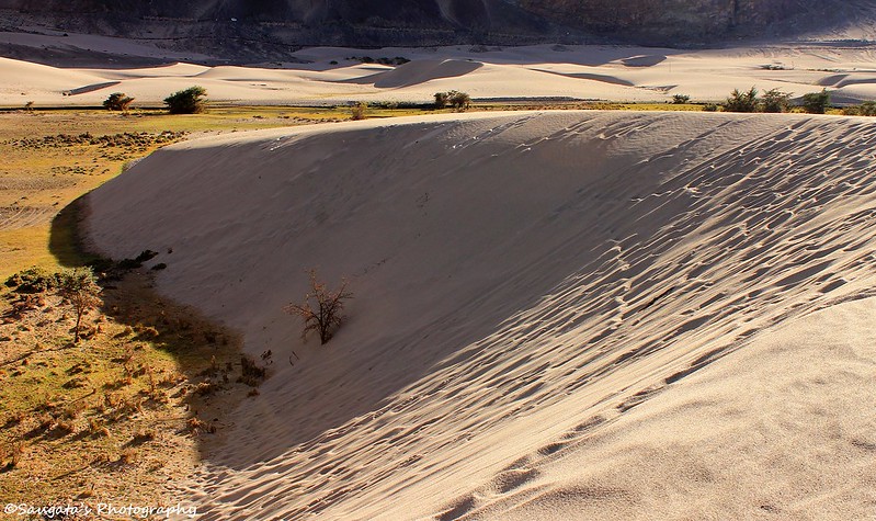
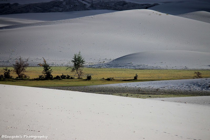
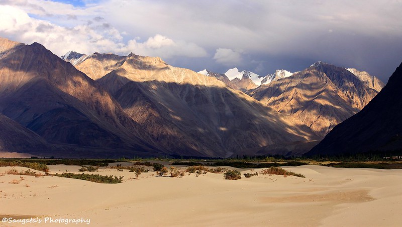
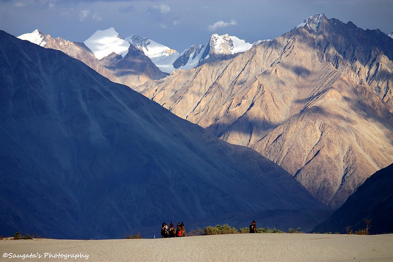
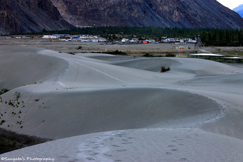
The sand dunes were exactly similar to the ones found in the bigger deserts, formed from white colored sands. The whole landscape was truly remarkable and unbelievable – rugged mountains standing haughtily, their feet covered with white sand whereas their heads were painted white with snow. Such peaceful coexistence of two extremes can only be found in India I am sure.
The dark started engulfing the place fast, so after a long day it was time to take some rest, so we returned back to our guest house. The experience that we had throughout the day seemed like a gorgeous dream.
 |
| Hunder Sand Dunes - the first encounter |
 |
| Ibex Guest House, Hunder |
 |
| Towards Hunder Sand Dunes |
 |
| The Ship of the Desert and the Desert at the backdrop |
 |
| Shadows on the Sand |
 |
| Snow and Sand in the same frame - amazingly incredible! |
 |
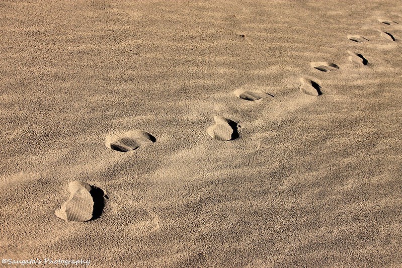
| Footprints |
 |
| A closer look |
 |
| Hunder Village at the background |
 |
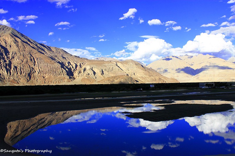
| Reflection |
 |
| Reflection |
 |
| Time to return to the cosiness of our houses |
To be Continued...
Next: Turtuk and back